|
search place name
|
||
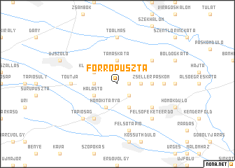
Forrópuszta (Pest, Hungary)Forrópuszta is a town in the Pest region of Hungary. An overview map of the region around Forrópuszta is displayed below.
regional and 3d topo map of Forrópuszta, Hungary ::
Forrópuszta airports ::
The nearest airport is BUD - Budapest Ferihegy, located 31.0 km west of Forrópuszta.
Other airports nearby include SLD - Sliac (137.9 km north), DEB - Debrecen (147.0 km east), KSC - Kosice (178.8 km north east), TAT - Poprad Tatry (185.5 km north), Nearby towns ::
Öregszőlő (1.3km east) //
Újtelep (2.2km south east) //
Tamáskáta (3.7km north) //
Szentmártonkáta (2.5km east) //
Hármasberkidůlő (2.5km west) //
Homokerdő (3.9km south) //
Homokitanya (3.9km south) //
Kláramajor (3.1km north west) //
Halastó (3.1km south west) //
Zsellérpáskom (3.8km east) //
Karostó (3.8km east) //
Nagypáskom (3.8km east) //
Tápió (3.8km east) //
Felsőboldogkáta (5.3km north east) //
Szúnyogos (5.3km south east) //
Felsőszőlő (6.1km south west) //
Székes (5.0km east) //
Tó Útja (5.0km west) //
Kisperjés (5.0km west) //
Tápiószecső (5.0km west) //
Tóalmás (7.4km north) //
Felsőtápió (7.5km south) //
Felsőfeketeerdő (6.7km south east) //
Tápióság (6.7km south west) //
[all distances 'as the bird flies' and approximate] 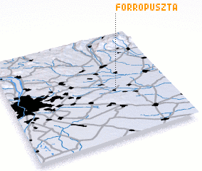 Places with similar names to Forrópuszta, Hungary ::
// Vrapčište (MK)
Disclaimer :: Information on this page comes without warranty of any kind |
||
|
Where is Forrópuszta? Elevation and coordinates ::
Latitude (lat): 47°27'0"N Longitude (lon): 19°40'0"E
Elevation (approx.): 129m (map arrows pan, magnifying glasses zoom) |
||
|
Visiting Forrópuszta? Hotel/Accommodation ::
Book a hotel in Forrópuszta Travel Guide ::
Buy a travel guide for Hungary rental cars ::
car rental offers GPS waypoint ::
download a GPX waypoint (PoI) of Forrópuszta for your GPS receiver
|
||