|
search place name
|
||
Fůtelekimajor (Vas, Hungary)Fůtelekimajor is a town in the Vas region of Hungary. An overview map of the region around Fůtelekimajor is displayed below.
regional and 3d topo map of Fůtelekimajor, Hungary ::

nearby GPS traces from timatio ::
Fůtelekimajor airports ::
The nearest airport is VIE - Vienna Schwechat, located 88.3 km north of Fůtelekimajor.
Other airports nearby include GRZ - Graz (89.3 km south west), BTS - Bratislava M R Stefanik (108.3 km north east), MBX - Maribor (112.5 km south west), PZY - Piestany (175.4 km north east), Nearby towns ::
Kőszegszerdahely (1.9km north) //
Bozsok (2.2km north west) //
Fůtelekimajor (2.2km south east) //
Cák (3.7km north) //
Velem (3.9km north) //
Kőszegdoroszló (4.5km north east) //
Bucsu (5.7km south) //
Szabóhegy (7.4km north) //
Gyöngyösfalu (5.0km east) //
Perenye (5.4km east) //
Nyestemajor (7.5km south) //
Rechnitz (5.4km west) //
Stájerházak (6.7km north west) //
Kőszegfalva (6.7km north east) //
Rőtivölgy (7.8km north) //
Kőszeg (7.8km north) //
Királyvölgy (7.8km north) //
Lukácsháza (6.2km north east) //
[all distances 'as the bird flies' and approximate] 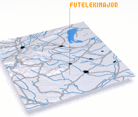 Places with similar names to Fůtelekimajor, Hungary ::
// Fůtelekimajor (HU)
Disclaimer :: Information on this page comes without warranty of any kind |
||
|
Where is Fůtelekimajor? Elevation and coordinates ::
Latitude (lat): 47°19'0"N Longitude (lon): 16°31'0"E
Elevation (approx.): 310m (map arrows pan, magnifying glasses zoom) |
||
|
Visiting Fůtelekimajor? Hotel/Accommodation ::
Book a hotel in Fůtelekimajor Travel Guide ::
Buy a travel guide for Hungary rental cars ::
car rental offers GPS waypoint ::
download a GPX waypoint (PoI) of Fůtelekimajor for your GPS receiver
|
||