|
search place name
|
||
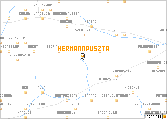
Hermannpuszta (Veszprém, Hungary)Hermannpuszta is a town in the Veszprém region of Hungary. An overview map of the region around Hermannpuszta is displayed below.
regional and 3d topo map of Hermannpuszta, Hungary ::
Hermannpuszta airports ::
The nearest airport is BUD - Budapest Ferihegy, located 122.4 km east of Hermannpuszta.
Other airports nearby include BTS - Bratislava M R Stefanik (128.8 km north), VIE - Vienna Schwechat (145.3 km north west), PZY - Piestany (173.4 km north), ZAG - Zagreb (195.0 km south west), Nearby towns ::
Alsóerdőpuszta (3.1km north east) //
Parésbörc (5.6km north) //
Bereczpuszta (5.6km north) //
Csalánostanya (5.6km north) //
Szentgál (5.6km north) //
Zsófiapuszta (4.2km north west) //
Herend (7.5km north) //
Csárdamajor (6.7km south east) //
Tótvázsony (6.7km south east) //
Remete (7.8km north) //
Mészmů (7.8km north) //
Kövesgyůrpuszta (6.3km south east) //
Bánd (7.5km north east) //
[all distances 'as the bird flies' and approximate] 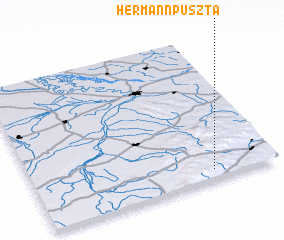 Places with similar names to Hermannpuszta, Hungary ::
// Herminapuszta (HU)
Disclaimer :: Information on this page comes without warranty of any kind |
||
|
Where is Hermannpuszta? Elevation and coordinates ::
Latitude (lat): 47°4'0"N Longitude (lon): 17°44'0"E
Elevation (approx.): 399m (map arrows pan, magnifying glasses zoom) |
||
|
Visiting Hermannpuszta? Hotel/Accommodation ::
Book a hotel in Hermannpuszta Travel Guide ::
Buy a travel guide for Hungary rental cars ::
car rental offers GPS waypoint ::
download a GPX waypoint (PoI) of Hermannpuszta for your GPS receiver
|
||