|
search place name
|
||
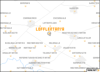
Löfflertanya (Békés, Hungary)Löfflertanya is a town in the Békés region of Hungary. An overview map of the region around Löfflertanya is displayed below.
regional and 3d topo map of Löfflertanya, Hungary ::
Löfflertanya airports ::
The nearest airport is ARW - Arad, located 43.2 km south east of Löfflertanya.
Other airports nearby include TSR - Timisoara Traian Vuia (82.4 km south), OMR - Oradea (93.3 km north east), DEB - Debrecen (121.0 km north east), CSB - Caransebes (156.9 km south east), Nearby towns ::
Levelekiföldek (2.2km north east) //
Kardosföldek (2.2km north east) //
Horváthföldek (2.2km north east) //
Medgyesbodzás (2.2km north east) //
Görbedpuszta (2.2km north east) //
Liptákföldek (3.7km north) //
Hászmajor (3.9km south) //
Malomdůlő (3.9km south) //
Külsőszakál (3.9km south) //
Belsőhatárdůlő (3.9km south) //
Galambdůlő (3.9km south) //
Határdůlő (3.9km south) //
Iskoladůlő (3.9km south) //
Kakasdůlő (3.9km south) //
Gábortelep (4.5km north west) //
Magyarbánhegyes (5.7km south) //
Pusztaottlaka (6.1km north east) //
Csicsósdůlő (6.1km north east) //
Nagybánhegyes (5.3km south west) //
Borsányipuszta (5.3km south west) //
Falu Körüli Tanyák (5.3km south west) //
Telbisztanya (7.4km south) //
Montághy Út (7.5km south west) //
Csanádapáca (7.5km north west) //
Vajdatanya (7.5km south east) //
[all distances 'as the bird flies' and approximate] 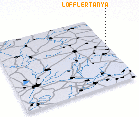 Places with similar names to Löfflertanya, Hungary :: Disclaimer :: Information on this page comes without warranty of any kind |
||
|
Where is Löfflertanya? Elevation and coordinates ::
Latitude (lat): 46°30'0"N Longitude (lon): 20°57'0"E
Elevation (approx.): 90m (map arrows pan, magnifying glasses zoom) |
||
|
Visiting Löfflertanya? Hotel/Accommodation ::
Book a hotel in Löfflertanya Travel Guide ::
Buy a travel guide for Hungary rental cars ::
car rental offers GPS waypoint ::
download a GPX waypoint (PoI) of Löfflertanya for your GPS receiver
|
||