|
search place name
|
||
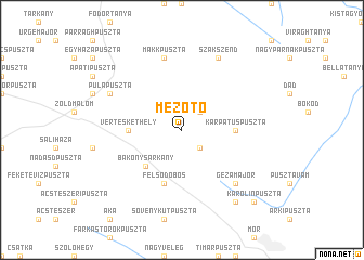
Mezőtó (Komárom-Esztergom, Hungary)Mezőtó is a town in the Komárom-Esztergom region of Hungary. An overview map of the region around Mezőtó is displayed below.
regional and 3d topo map of Mezőtó, Hungary ::
Mezőtó airports ::
The nearest airport is BUD - Budapest Ferihegy, located 84.8 km east of Mezőtó.
Other airports nearby include BTS - Bratislava M R Stefanik (102.9 km north west), PZY - Piestany (129.0 km north), VIE - Vienna Schwechat (136.3 km north west), SLD - Sliac (148.5 km north east), Nearby towns ::
Kopaszhegy (2.2km south east) //
Márkustag (2.2km north east) //
Császár (2.2km north east) //
Beszédestanya (2.2km north east) //
Vásártér (2.2km north east) //
Bakonysárkány (4.5km south west) //
Vérteskethely (3.8km west) //
Kárpátuspuszta (3.8km east) //
Felsődobos (5.7km south) //
Makkpuszta (7.5km north) //
Gézamajor (6.7km south east) //
Pulapuszta (6.2km north west) //
Szákszend (7.8km north) //
Alsódobos (8.3km south east) //
Karolinpuszta (8.9km south east) //
[all distances 'as the bird flies' and approximate] 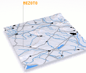 Places with similar names to Mezőtó, Hungary ::
Disclaimer :: Information on this page comes without warranty of any kind |
||
|
Where is Mezőtó? Elevation and coordinates ::
Latitude (lat): 47°29'0"N Longitude (lon): 18°8'0"E
Elevation (approx.): 251m (map arrows pan, magnifying glasses zoom) |
||
|
Visiting Mezőtó? Hotel/Accommodation ::
Book a hotel in Mezőtó Travel Guide ::
Buy a travel guide for Hungary rental cars ::
car rental offers GPS waypoint ::
download a GPX waypoint (PoI) of Mezőtó for your GPS receiver
|
||