|
search place name
|
||
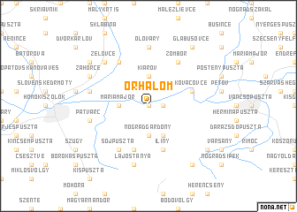
Őrhalom (Nógrád, Hungary)Őrhalom is a town in the Nógrád region of Hungary. An overview map of the region around Őrhalom is displayed below.
regional and 3d topo map of Őrhalom, Hungary ::
Őrhalom airports ::
The nearest airport is SLD - Sliac, located 65.1 km north of Őrhalom.
Other airports nearby include BUD - Budapest Ferihegy (72.9 km south), TAT - Poprad Tatry (125.8 km north east), PZY - Piestany (132.2 km north west), KSC - Kosice (149.7 km north east), Nearby towns ::
Vrbovka (0.0km north) //
Hugyag (1.2km east) //
Nógrádgárdony (3.7km south) //
Máriamajor (2.5km west) //
Kiarov (3.7km north) //
Csitár (3.9km south) //
Iliny (5.7km south) //
Nógrádmarcal (5.7km south) //
Kováčovce (4.2km north east) //
Zombor (6.1km north east) //
Söjpuszta (6.1km south west) //
Ivántagpuszta (6.1km south west) //
Slatinné Kúpele (6.1km north west) //
Olováry (7.4km north) //
Lajostanya (7.5km south) //
Patvarc (5.3km west) //
Selištʼany (5.3km west) //
Želovce (6.7km north west) //
Záhorce (6.2km north west) //
Felsőtábpuszta (8.3km south east) //
Alsótábpuszta (7.4km south east) //
Dolné Peseraný (7.4km north west) //
Glabušovce (8.3km north east) //
[all distances 'as the bird flies' and approximate] 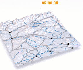
Disclaimer :: Information on this page comes without warranty of any kind |
||
|
Where is Őrhalom? Elevation and coordinates ::
Latitude (lat): 48°5'0"N Longitude (lon): 19°25'0"E
Elevation (approx.): 144m (map arrows pan, magnifying glasses zoom) |
||
|
Visiting Őrhalom? Hotel/Accommodation ::
Book a hotel in Őrhalom Travel Guide ::
Buy a travel guide for Hungary rental cars ::
car rental offers GPS waypoint ::
download a GPX waypoint (PoI) of Őrhalom for your GPS receiver
|
||