|
search place name
|
||
Örsihegy (Tolna, Hungary)Örsihegy is a town in the Tolna region of Hungary. An overview map of the region around Örsihegy is displayed below.
regional and 3d topo map of Örsihegy, Hungary ::

Örsihegy airports ::
The nearest airport is BUD - Budapest Ferihegy, located 84.1 km north of Örsihegy.
Other airports nearby include OSI - Osijek (139.6 km south), BTS - Bratislava M R Stefanik (206.5 km north west), SLD - Sliac (214.2 km north), PZY - Piestany (227.4 km north), Nearby towns ::
Andráspuszta (3.7km north) //
Kormódpuszta (5.6km south) //
Hüllő (3.8km east) //
Kishegy (5.6km north) //
Újfalu (4.2km north east) //
Bölcske (4.2km north east) //
Gabonás (4.2km north east) //
Havas (4.2km north east) //
Juhásztanya (4.2km north east) //
Öregsziget (4.2km north east) //
Somoshegy (5.7km north) //
Madocsa (5.3km south east) //
Nagyhegy (7.5km north) //
Felhágópuszta (7.5km south) //
Alsóöreghegy (7.8km north) //
Bakaszállás (7.8km north) //
[all distances 'as the bird flies' and approximate] 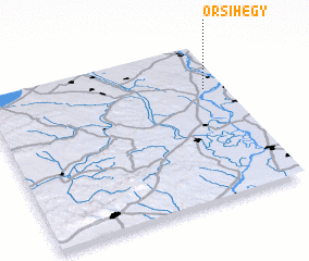 Places with similar names to Örsihegy, Hungary :: Disclaimer :: Information on this page comes without warranty of any kind |
||
|
Where is Örsihegy? Elevation and coordinates ::
Latitude (lat): 46°43'0"N Longitude (lon): 18°55'0"E
Elevation (approx.): 111m (map arrows pan, magnifying glasses zoom) |
||
|
Visiting Örsihegy? Hotel/Accommodation ::
Book a hotel in Örsihegy Travel Guide ::
Buy a travel guide for Hungary rental cars ::
car rental offers GPS waypoint ::
download a GPX waypoint (PoI) of Örsihegy for your GPS receiver
|
||