|
search place name
|
||
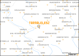
Tarnalelesz (Heves, Hungary)Tarnalelesz is a town in the Heves region of Hungary. An overview map of the region around Tarnalelesz is displayed below.
regional and 3d topo map of Tarnalelesz, Hungary ::
Tarnalelesz airports ::
The nearest airport is BUD - Budapest Ferihegy, located 97.4 km south west of Tarnalelesz.
Other airports nearby include SLD - Sliac (101.6 km north west), KSC - Kosice (103.9 km north east), TAT - Poprad Tatry (113.9 km north), DEB - Debrecen (124.1 km south east), Nearby towns ::
Kutostanya (0.0km north) //
Bükkszenterzsébet (1.2km west) //
Fedémes (2.2km south east) //
Szentdomonkos (2.2km north east) //
Tipászó (4.5km north east) //
Kőröspuszta (5.7km south) //
Hosszúverőpuszta (4.2km south west) //
Hevesaranyos (5.2km south east) //
Szederjespuszta (6.1km north west) //
Bükkszék (7.4km south) //
Szúcs (5.0km east) //
Váraszó (5.3km west) //
Karácsonylovatanya (6.7km north east) //
Kisfüzes (8.3km south west) //
Rónalápatanya (8.9km north west) //
Borsodnádasd (8.9km north east) //
[all distances 'as the bird flies' and approximate] 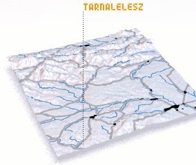 Places with similar names to Tarnalelesz, Hungary :: Disclaimer :: Information on this page comes without warranty of any kind |
||
|
Where is Tarnalelesz? Elevation and coordinates ::
Latitude (lat): 48°3'0"N Longitude (lon): 20°11'0"E
Elevation (approx.): 236m (map arrows pan, magnifying glasses zoom) |
||
|
Visiting Tarnalelesz? Hotel/Accommodation ::
Book a hotel in Tarnalelesz Travel Guide ::
Buy a travel guide for Hungary rental cars ::
car rental offers GPS waypoint ::
download a GPX waypoint (PoI) of Tarnalelesz for your GPS receiver
|
||