|
search place name
|
||
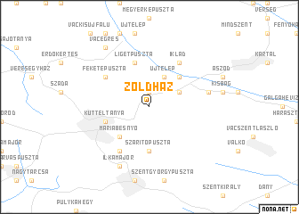
Zöldház (Pest, Hungary)Zöldház is a town in the Pest region of Hungary. An overview map of the region around Zöldház is displayed below.
regional and 3d topo map of Zöldház, Hungary ::
Zöldház airports ::
The nearest airport is BUD - Budapest Ferihegy, located 23.4 km south west of Zöldház.
Other airports nearby include SLD - Sliac (115.5 km north), PZY - Piestany (163.0 km north west), TAT - Poprad Tatry (173.1 km north), KSC - Kosice (178.8 km north east), Nearby towns ::
Egerszegpuszta (1.9km north) //
Domonyvölgy (1.9km north) //
Domony (3.9km north) //
Csintovány (3.1km north east) //
Újtelep (3.9km north) //
Flóramajor (4.5km north east) //
Máriabesnyő (4.5km south west) //
Szárítópuszta (5.6km south) //
Ligetpuszta (5.7km north) //
Gödöllő (4.2km south west) //
Központimajor (4.2km south west) //
Kütteltanya (4.2km south west) //
Iklad (6.1km north east) //
Feketepuszta (5.3km north west) //
Baromfitenyésztőtelep (6.1km south west) //
Bag (5.3km east) //
Ilkamajor (7.8km south) //
Vácegres (8.3km north west) //
[all distances 'as the bird flies' and approximate] 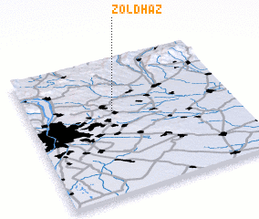 Places with similar names to Zöldház, Hungary :: Disclaimer :: Information on this page comes without warranty of any kind |
||
|
Where is Zöldház? Elevation and coordinates ::
Latitude (lat): 47°37'0"N Longitude (lon): 19°25'0"E
Elevation (approx.): 215m (map arrows pan, magnifying glasses zoom) |
||
|
Visiting Zöldház? Hotel/Accommodation ::
Book a hotel in Zöldház Travel Guide ::
Buy a travel guide for Hungary rental cars ::
car rental offers GPS waypoint ::
download a GPX waypoint (PoI) of Zöldház for your GPS receiver
|
||