|
search place name
|
||
Girkalnis (Lithuania)Girkalnis is a town in Lithuania. An overview map of the region around Girkalnis is displayed below.
regional and 3d topo map of Girkalnis, Lithuania ::
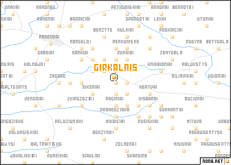
Nearby towns ::
Šermukšnytė (0.0km north) //
Pakerupis (1.1km east) //
Valatkiškiai (1.9km north) //
Dvareliškiai (1.9km south) //
Kūbetkiškiai (2.1km north west) //
Vėgėnai (2.1km south east) //
Niurkiškė (3.7km north) //
Pagiriai (3.7km south) //
Rumšiai (3.9km north) //
Kėbaičiai (3.9km north) //
Girdvainai (3.9km north) //
Peldžiūnai I (3.9km south) //
Biliūnai (2.8km north west) //
Naukaimis (2.8km south west) //
Pakalniškiai (2.8km south west) //
Šikšniai (2.8km south west) //
Rizgiai (4.3km south east) //
Anulynas (4.3km north west) //
Pramedžiava (5.6km south) //
Šeimyniškiai (3.2km west) //
Laužai (5.6km north) //
Perkūniškė (5.7km north) //
Keryvai (3.7km south east) //
Mikaičiai (5.9km south) //
Šarkiai (4.9km north west) //
Visbarai (4.9km south east) //
Plingiai (4.9km south west) //
Žvirgždžiai (4.9km south west) //
Andrušaičiai (5.9km north) //
[all distances 'as the bird flies' and approximate] 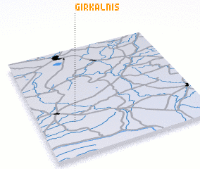 Places with similar names to Girkalnis, Lithuania :: Disclaimer :: Information on this page comes without warranty of any kind |
||
|
Where is Girkalnis? Elevation and coordinates ::
Latitude (lat): 55°19'0"N Longitude (lon): 23°13'0"E
Elevation (approx.): 98m (map arrows pan, magnifying glasses zoom) |
||
|
Visiting Girkalnis? Hotel/Accommodation ::
Book a hotel in Girkalnis Travel Guide ::
Buy a travel guide for Lithuania rental cars ::
car rental offers GPS waypoint ::
download a GPX waypoint (PoI) of Girkalnis for your GPS receiver
|
||