|
search place name
|
||
Juodbaliai (Lithuania)Juodbaliai is a town in Lithuania. An overview map of the region around Juodbaliai is displayed below.
regional and 3d topo map of Juodbaliai, Lithuania ::
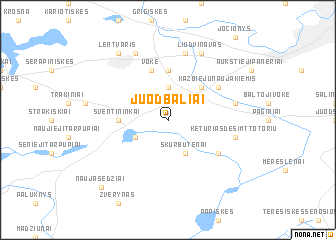
Nearby towns ::
Vokė (3.7km north) //
Didieji Lyngainiai (2.8km south west) //
Skurbutėnai (3.9km south) //
Kazbiejai (4.3km north east) //
Trakų Vokė (5.6km north) //
Šventininkai (3.2km west) //
Vokė (5.7km north) //
Tarnėnai (4.9km south east) //
Kazbiejų Naujakiemis (4.9km north east) //
Keturiasdešimt Totorių (4.7km south east) //
Gureliai (7.5km north) //
Vaidotai (4.7km north east) //
Liudvinavas (7.7km north) //
Gaidiškės (7.7km north) //
Lentvaris (8.1km north west) //
Naujasėdžiai (8.6km south west) //
[all distances 'as the bird flies' and approximate] 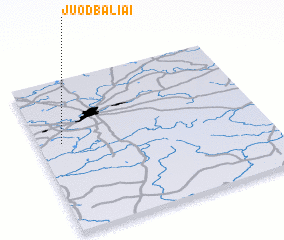 Places with similar names to Juodbaliai, Lithuania ::
// Gitabla (PH)
// Jatti Bāla (PK)
// Ged Deeble (SO)
// Giadabele (ET)
// Jotobli (LR)
// Getebol (SE)
// Getebol (SE)
// Gidböle (SE)
// Jättböle (FI)
// Joddböle (FI)
Disclaimer :: Information on this page comes without warranty of any kind |
||
|
Where is Juodbaliai? Elevation and coordinates ::
Latitude (lat): 54°35'0"N Longitude (lon): 25°6'0"E
Elevation (approx.): 149m (map arrows pan, magnifying glasses zoom) |
||
|
Visiting Juodbaliai? Hotel/Accommodation ::
Book a hotel in Juodbaliai Travel Guide ::
Buy a travel guide for Lithuania rental cars ::
car rental offers GPS waypoint ::
download a GPX waypoint (PoI) of Juodbaliai for your GPS receiver
|
||