|
search place name
|
||
Karaliūnai (Lithuania)Karaliūnai is a town in Lithuania. An overview map of the region around Karaliūnai is displayed below.
regional and 3d topo map of Karaliūnai, Lithuania ::
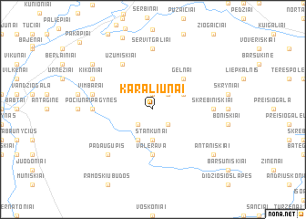
Nearby towns ::
Butkūnai (1.9km north) //
Leckiškiai (2.1km south west) //
Narkūnai (2.1km south east) //
Vandžiogala (2.1km north east) //
Stankūnai (3.7km south) //
Didieji Ibėnai (3.9km south) //
Šilelis (2.8km north east) //
Gelnai (4.3km north east) //
Mažieji Ibėnai (5.6km south) //
Valerava (5.6km south) //
Užumiškiai (6.0km north) //
Pociūnai-Pagynės (4.2km west) //
Servitgaliai (7.4km north) //
Skrebiniškiai (4.2km east) //
Vimbarai (4.6km north west) //
Padaugupis (6.4km south west) //
Kikoniai (5.6km north west) //
Kačergiai (7.0km north west) //
Antaniškiai (7.0km south east) //
Sičioniai (9.0km north) //
[all distances 'as the bird flies' and approximate] 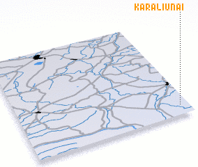 Places with similar names to Karaliūnai, Lithuania ::
Disclaimer :: Information on this page comes without warranty of any kind |
||
|
Where is Karaliūnai? Elevation and coordinates ::
Latitude (lat): 55°6'0"N Longitude (lon): 23°57'0"E
Elevation (approx.): 54m (map arrows pan, magnifying glasses zoom) |
||
|
Visiting Karaliūnai? Hotel/Accommodation ::
Book a hotel in Karaliūnai Travel Guide ::
Buy a travel guide for Lithuania rental cars ::
car rental offers GPS waypoint ::
download a GPX waypoint (PoI) of Karaliūnai for your GPS receiver
|
||