|
search place name
|
||
Raginėnai (Lithuania)Raginėnai is a town in Lithuania. An overview map of the region around Raginėnai is displayed below.
regional and 3d topo map of Raginėnai, Lithuania ::
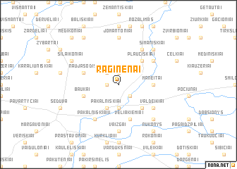
Nearby towns ::
Litkūnai (1.9km north) //
Šniukoniai (1.0km west) //
Daukonys (2.1km south east) //
Sliekiai (2.1km north west) //
Kleboniškiai (3.7km south) //
Pakalniškiai (3.9km south) //
Dambavas (4.3km south east) //
Plaučiškiai (4.3km north east) //
Maneitai (3.1km east) //
Veliakiemiai (5.7km south) //
Baukai (3.6km south west) //
Naujasodis (3.6km north west) //
Valdeikiai (4.8km south east) //
Pakalniškiai II (5.9km south) //
Gikoniai (4.8km north east) //
Meldiniai (5.9km north) //
Vaižgai (7.4km south) //
Jomantoniai (7.4km north) //
Areiniškiai (6.4km south east) //
Simaniškiai (6.4km north east) //
Šilaikoniai (5.6km north west) //
Rukonys (8.0km south east) //
Maldžiūnai I (8.0km north west) //
Maldžiūnai II (8.5km north west) //
Medikoniai (8.5km north west) //
[all distances 'as the bird flies' and approximate] 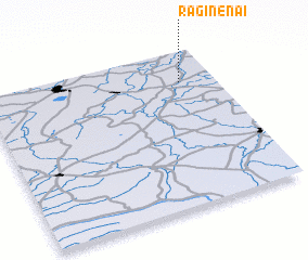 Places with similar names to Raginėnai, Lithuania ::
// Rugineni (RO)
Disclaimer :: Information on this page comes without warranty of any kind |
||
|
Where is Raginėnai? Elevation and coordinates ::
Latitude (lat): 55°48'0"N Longitude (lon): 23°51'0"E
Elevation (approx.): 81m (map arrows pan, magnifying glasses zoom) |
||
|
Visiting Raginėnai? Hotel/Accommodation ::
Book a hotel in Raginėnai Travel Guide ::
Buy a travel guide for Lithuania rental cars ::
car rental offers GPS waypoint ::
download a GPX waypoint (PoI) of Raginėnai for your GPS receiver
|
||