|
search place name
|
||
Tautginiai (Lithuania)Tautginiai is a town in Lithuania. An overview map of the region around Tautginiai is displayed below.
regional and 3d topo map of Tautginiai, Lithuania ::
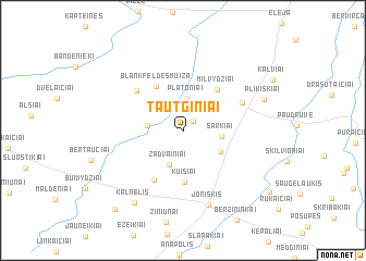
Nearby towns ::
Svirpliai (1.1km north east) //
Platoniai (3.3km north) //
Daunoriškė (2.1km west) //
Vaineikiai (2.9km north west) //
Žadvainiai (3.6km south) //
Šarkiai (2.3km east) //
Satkūnai (3.0km south east) //
Kuisiai (5.3km south) //
(( Blankfeldes Muiža )) (4.8km north) //
Milvydžiai (4.6km north east) //
Padirvoniai (5.3km south) //
Blankenfelde (4.8km north west) //
Linkaičiai (4.4km north east) //
Joniškis (7.8km south) //
Kalnelis (7.9km south) //
Plikiškiai (5.6km north east) //
Pociūnai (9.0km south west) //
Bariūnai (8.0km south east) //
[all distances 'as the bird flies' and approximate] 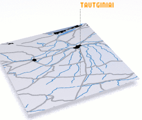 Places with similar names to Tautginiai, Lithuania ::
Disclaimer :: Information on this page comes without warranty of any kind |
||
|
Where is Tautginiai? Elevation and coordinates ::
Latitude (lat): 56°18'33"N Longitude (lon): 23°35'30"E
Elevation (approx.): 41m (map arrows pan, magnifying glasses zoom) |
||
|
Visiting Tautginiai? Hotel/Accommodation ::
Book a hotel in Tautginiai Travel Guide ::
Buy a travel guide for Lithuania rental cars ::
car rental offers GPS waypoint ::
download a GPX waypoint (PoI) of Tautginiai for your GPS receiver
|
||