|
search place name
|
||
Žikaronys (Lithuania)Žikaronys is a town in Lithuania. An overview map of the region around Žikaronys is displayed below.
regional and 3d topo map of Žikaronys, Lithuania ::
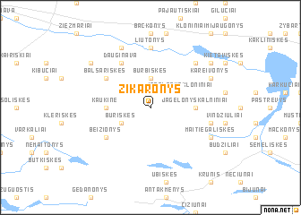
Nearby towns ::
Burbiškės (3.7km north) //
Būriškės (2.8km south west) //
Jagėlonys (2.8km north east) //
Jagėlonys Kloniniai (2.8km north east) //
Kaukinė (3.2km west) //
Jagėlonys Kalniniai (3.2km east) //
Balsariškės (4.9km north west) //
Dauginava (6.0km north) //
Beižionys (4.9km south west) //
Mūro Strėvininkai (7.4km north) //
Liutonys (7.4km north) //
Sakaldonys (4.7km south east) //
Ašakieniai (6.4km north east) //
Strėvininkai (7.7km north) //
Kareivonys (5.7km north east) //
Maitiegališkės (5.7km south east) //
Skudeniai (7.0km north west) //
Naujosios Kietaviškės (7.0km north east) //
[all distances 'as the bird flies' and approximate] 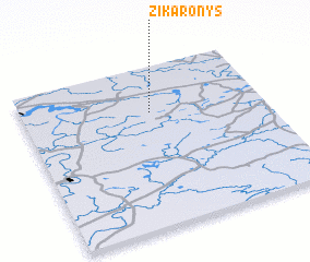 Places with similar names to Žikaronys, Lithuania ::
// Scharans (CH)
// Schruns (AT)
// Schrenz (DE)
// Sakournás (GR)
// Skarnes (NO)
// Skórnice (PL)
// Schirnes (AT)
// Sigournais (FR)
// Skořenice (CZ)
// Schierensee (DE)
Disclaimer :: Information on this page comes without warranty of any kind |
||
|
Where is Žikaronys? Elevation and coordinates ::
Latitude (lat): 54°43'0"N Longitude (lon): 24°32'0"E
Elevation (approx.): 141m (map arrows pan, magnifying glasses zoom) |
||
|
Visiting Žikaronys? Hotel/Accommodation ::
Book a hotel in Žikaronys Travel Guide ::
Buy a travel guide for Lithuania rental cars ::
car rental offers GPS waypoint ::
download a GPX waypoint (PoI) of Žikaronys for your GPS receiver
|
||