|
search place name
|
||
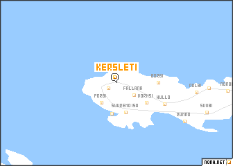
Kersleti (Läänemaa, Estonia)Kersleti is a town in the Läänemaa region of Estonia. An overview map of the region around Kersleti is displayed below.
regional and 3d topo map of Kersleti, Estonia ::
Kersleti airports ::
The nearest airport is TLL - Tallinn-ulemiste International Tallinn, located 104.0 km north east of Kersleti.
Other airports nearby include HEM - Helsinki Malmi (172.6 km north east), TKU - Turku (173.3 km north), HEL - Helsinki Vantaa (175.5 km north east), Nearby towns ::
 Places with similar names to Kersleti, Estonia ::
// Corozalito (BZ)
// Corozalito (BZ)
// Corozalito (BZ)
// Groß Ilde (DE)
// Kurzelaty (PL)
// Gora Selty (RU)
// Corozalito (CO)
// Corozalito (CO)
// Corozalito (CR)
// Carrizalito (GT)
Disclaimer :: Information on this page comes without warranty of any kind |
||
|
Where is Kersleti? Elevation and coordinates ::
Latitude (lat): 59°1'42"N Longitude (lon): 23°10'24"E
Elevation (approx.): 9m (map arrows pan, magnifying glasses zoom) |
||
|
Visiting Kersleti? Hotel/Accommodation ::
Book a hotel in Kersleti Travel Guide ::
Buy a travel guide for Estonia rental cars ::
car rental offers GPS waypoint ::
download a GPX waypoint (PoI) of Kersleti for your GPS receiver
|
||