|
search place name
|
||
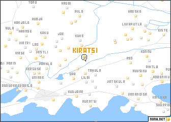
Kiratsi (Saaremaa, Estonia)Kiratsi is a town in the Saaremaa region of Estonia. An overview map of the region around Kiratsi is displayed below.
regional and 3d topo map of Kiratsi, Estonia ::
Nearby towns ::
Uduvere (1.8km north) //
Laadjala (1.9km south west) //
Tahula-Mõisaküla (2.7km south) //
Vana-Kaarma (3.0km north) //
Asuküla (3.5km north) //
Tahula (3.2km south) //
Meedla (2.3km west) //
Lilbi (4.6km south) //
Kärdu (4.5km south) //
Upa (4.1km south) //
Kuke (4.6km north) //
Uue-Kaarma (3.5km north west) //
Maleva (3.1km west) //
Vaivere (5.7km south) //
Kaarma (3.7km north west) //
Jõe (5.7km north west) //
Praakli (7.2km south) //
Sikassaare (5.6km south west) //
Kiriku (4.7km north west) //
Mustla (5.3km north east) //
Loona (5.5km north west) //
Saue-Putla (5.7km north east) //
Kudjape (7.7km south) //
Kaarma-Suure (7.4km south) //
Pähkla (4.8km west) //
Vatsküla (6.5km south east) //
Õha (8.5km north) //
Keskvere (8.8km north) //
Käku (7.0km north west) //
[all distances 'as the bird flies' and approximate] 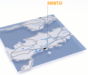 Places with similar names to Kiratsi, Estonia ::
Disclaimer :: Information on this page comes without warranty of any kind |
||
|
Where is Kiratsi? Elevation and coordinates ::
Latitude (lat): 58°19'27"N Longitude (lon): 22°34'3"E
Elevation (approx.): 13m (map arrows pan, magnifying glasses zoom) |
||
|
Visiting Kiratsi? Hotel/Accommodation ::
Book a hotel in Kiratsi Travel Guide ::
Buy a travel guide for Estonia rental cars ::
car rental offers GPS waypoint ::
download a GPX waypoint (PoI) of Kiratsi for your GPS receiver
|
||