|
search place name
|
||
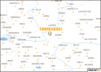
Tammeveski (Võrumaa, Estonia)Tammeveski is a town in the Võrumaa region of Estonia. An overview map of the region around Tammeveski is displayed below.
regional and 3d topo map of Tammeveski, Estonia ::
Nearby towns ::
Nõnova (2.2km south) //
Listaku (2.9km north) //
Husari (1.8km south east) //
Holopi (3.2km south) //
Umbsaare (3.3km south west) //
Noodasküla (4.2km south) //
Lasva (2.7km north east) //
Kääpa (3.2km north west) //
Lehemetsa (3.4km south west) //
Pindi (5.2km north east) //
Kannu (6.3km north) //
Tilga (5.5km south east) //
Sooküla (5.2km south east) //
Palometsa (5.4km south west) //
Koloreino (7.1km south) //
Tootsi (7.7km south) //
Räpo (6.7km south west) //
Puusepa (4.5km west) //
Paidra (7.8km north) //
Tsolgo (8.3km north) //
Mõrgi (6.8km north west) //
Pille (8.9km north) //
Mõisamäe (8.9km south) //
Verijärve (6.9km south west) //
Loosi (7.0km south east) //
Vaarkali (8.4km south east) //
Antsumäe (7.9km south east) //
Kolepi (9.7km south west) //
[all distances 'as the bird flies' and approximate] 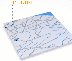 Places with similar names to Tammeveski, Estonia ::
// Tambovskiy (RU)
// Tambovskiy (RU)
Disclaimer :: Information on this page comes without warranty of any kind |
||
|
Where is Tammeveski? Elevation and coordinates ::
Latitude (lat): 57°51'1"N Longitude (lon): 27°8'39"E
Elevation (approx.): 79m (map arrows pan, magnifying glasses zoom) |
||
|
Visiting Tammeveski? Hotel/Accommodation ::
Book a hotel in Tammeveski Travel Guide ::
Buy a travel guide for Estonia rental cars ::
car rental offers GPS waypoint ::
download a GPX waypoint (PoI) of Tammeveski for your GPS receiver
|
||