|
search place name
|
||
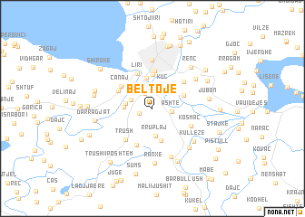
Beltojë (Shkodër, Albania)Beltojë is a town in the Shkodër region of Albania. An overview map of the region around Beltojë is displayed below.
regional and 3d topo map of Beltojë, Albania ::
Beltojë airports ::
The nearest airport is TGD - Podgorica, located 44.0 km north west of Beltojë.
Other airports nearby include TIA - Tirana Rinas (68.7 km south), TIV - Tivat (78.4 km north west), DBV - Dubrovnik (119.4 km north west), OHD - Ohrid (138.1 km south east), Nearby towns ::
Mali Hebaj (1.4km south west) //
Bërdica e Sipërme (1.9km north) //
Ashtë (1.8km east) //
Bërdica e Mesme (2.3km north west) //
Kuç (3.0km north) //
(( Bërdicë e Poshtme )) (2.5km west) //
(( Rruplaj )) (3.4km south) //
Bahçallëk (3.2km north west) //
Bërdica e Madhe (2.6km west) //
Tabak Ajasmë (3.8km north) //
Vukatanë (3.2km north east) //
Melgushë (4.1km south) //
Tepe (4.1km north) //
Dracin (4.6km north) //
Liri (4.5km north) //
Canaj (3.9km north west) //
Zues (3.8km north west) //
(( Plepan )) (4.8km south) //
Trush (4.5km south west) //
Ksollat e Fangut (4.4km north east) //
Kosmaç (4.1km south east) //
Shkodër (6.0km north) //
Bushat (6.3km south) //
Kotaj (5.4km north east) //
(( Kullëzë )) (5.6km south east) //
Plezhë (5.9km south east) //
Ranxë (6.7km south) //
Renc (6.1km north east) //
Juban (5.3km east) //
[all distances 'as the bird flies' and approximate] 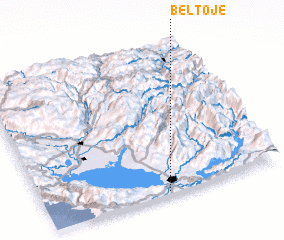 Places with similar names to Beltojë, Albania ::
Disclaimer :: Information on this page comes without warranty of any kind |
||
|
Where is Beltojë? Elevation and coordinates ::
Latitude (lat): 42°0'50"N Longitude (lon): 19°30'49"E
Elevation (approx.): 14m (map arrows pan, magnifying glasses zoom) |
||
|
Visiting Beltojë? Hotel/Accommodation ::
Book a hotel in Beltojë Travel Guide ::
Buy a travel guide for Albania rental cars ::
car rental offers GPS waypoint ::
download a GPX waypoint (PoI) of Beltojë for your GPS receiver
|
||