|
search place name
|
||
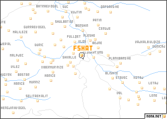
Fshat (Dibër, Albania)Fshat is a town in the Dibër region of Albania. An overview map of the region around Fshat is displayed below.
regional and 3d topo map of Fshat, Albania ::
Fshat airports ::
The nearest airport is TIA - Tirana Rinas, located 31.5 km west of Fshat.
Other airports nearby include OHD - Ohrid (64.2 km south east), TGD - Podgorica (119.7 km north west), SKP - Skopje (138.4 km north east), PRN - Pristina (144.5 km north east), Nearby towns ::
Klos-Katund (1.8km east) //
Dars (2.2km north west) //
(( Grekaj )) (2.3km south west) //
Klos (3.0km north) //
Shkallë (2.3km west) //
Guri i Bardhë (3.5km south west) //
Petralbë (2.9km south west) //
Bejnë (3.6km north east) //
Fullqet (4.3km north) //
Pleshë (4.5km north) //
Bel (4.4km north west) //
Kukatin (5.0km north east) //
Shëngjun (4.3km east) //
Bershin (6.5km north) //
Mishtër (5.9km north west) //
Tejlumaj (5.1km west) //
Unjatë (5.8km north west) //
Xibër-Hane (5.6km west) //
Xibër-Murrizë (5.9km south west) //
Cërujë (6.9km north east) //
Ruçaj (5.9km east) //
Blishtë (6.4km south east) //
Patin (8.1km north) //
Plani i Bardhë (6.3km east) //
Shulbatër (8.1km north west) //
Marice (7.2km south west) //
Ketë (6.6km west) //
Balajt e Poshtëm (7.9km south east) //
Gurra e Madhe (7.8km north west) //
[all distances 'as the bird flies' and approximate] 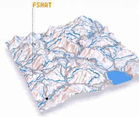 Places with similar names to Fshat, Albania ::
Disclaimer :: Information on this page comes without warranty of any kind |
||
|
Where is Fshat? Elevation and coordinates ::
Latitude (lat): 41°28'49"N Longitude (lon): 20°5'15"E
Elevation (approx.): 395m (map arrows pan, magnifying glasses zoom) |
||
|
Visiting Fshat? Hotel/Accommodation ::
Book a hotel in Fshat Travel Guide ::
Buy a travel guide for Albania rental cars ::
car rental offers GPS waypoint ::
download a GPX waypoint (PoI) of Fshat for your GPS receiver
|
||