|
search place name
|
||
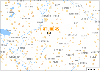
Katundas (Berat, Albania)Katundas is a town in the Berat region of Albania. An overview map of the region around Katundas is displayed below.
regional and 3d topo map of Katundas, Albania ::
Katundas airports ::
The nearest airport is TIA - Tirana Rinas, located 66.9 km north of Katundas.
Other airports nearby include OHD - Ohrid (71.5 km north east), KSO - Kastoria Aristotelis (116.7 km east), CFU - Kerkyra/corfu Ioannis Kapodistrias Intl (139.2 km south), IOA - Ioannina (145.9 km south east), Nearby towns ::
Luzaj (1.6km north) //
Shpataj (1.6km south west) //
Leshaj (1.5km west) //
Bërzeshtë (2.0km west) //
Bregu-Leckës (2.6km north) //
Novë (2.6km west) //
Saraseli i Sipërm (2.7km south east) //
Goricë (3.3km north) //
Çelaj (3.2km north west) //
Langozaj (3.6km south west) //
Sarasel (3.4km south east) //
Grakan (3.1km north east) //
Pëllumbas (4.0km south) //
(( Lilaj )) (4.1km south) //
(( Xhavur )) (4.6km north) //
Marez (3.6km east) //
Velagosht (4.0km south west) //
Sades (4.1km north west) //
Goriçan (4.6km south west) //
Selitë (4.7km north west) //
Topojan (4.9km north east) //
Kulleni (4.2km north west) //
Fag (5.5km north) //
Ripëzë (4.4km south west) //
Linas (5.8km north) //
Përrenjas (4.5km east) //
Llahaj (4.5km east) //
Dugallë (4.6km west) //
Kamunah (6.4km north) //
[all distances 'as the bird flies' and approximate] 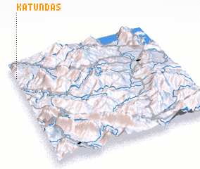 Places with similar names to Katundas, Albania ::
Disclaimer :: Information on this page comes without warranty of any kind |
||
|
Where is Katundas? Elevation and coordinates ::
Latitude (lat): 40°51'11"N Longitude (lon): 20°0'34"E
Elevation (approx.): 418m (map arrows pan, magnifying glasses zoom) |
||
|
Visiting Katundas? Hotel/Accommodation ::
Book a hotel in Katundas Travel Guide ::
Buy a travel guide for Albania rental cars ::
car rental offers GPS waypoint ::
download a GPX waypoint (PoI) of Katundas for your GPS receiver
|
||