|
search place name
|
||
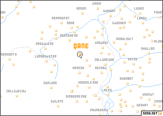
Qanë (Dibër, Albania)Qanë is a town in the Dibër region of Albania. An overview map of the region around Qanë is displayed below.
regional and 3d topo map of Qanë, Albania ::
Qanë airports ::
The nearest airport is TIA - Tirana Rinas, located 65.3 km south west of Qanë.
Other airports nearby include OHD - Ohrid (80.6 km south east), PRN - Pristina (104.0 km north east), TGD - Podgorica (104.5 km north west), SKP - Skopje (111.8 km east), Nearby towns ::
Lashkizë (1.0km south east) //
Tartaj (2.2km south east) //
Mënësh (3.4km south) //
Gjonaj (4.2km south) //
Soricë (3.5km east) //
Ndërshenë (4.6km north west) //
Hurdhë-Reç (4.9km north) //
Kraj-Reç (4.3km north east) //
Bardhaj-Reç (5.3km north east) //
Zall-Dardhë (4.3km east) //
Mustafaj (5.3km south east) //
Nezhaj (4.8km south east) //
Gurë-Reç (6.1km north) //
Fushë-Lurë (4.8km west) //
Shënlleshën (4.8km east) //
Grykë-Nokë (6.5km south) //
Kodër Leshe (6.9km south) //
Halilaj (6.5km north east) //
Zall-Reç (6.8km north east) //
Arrëz (7.2km north) //
Lugjaj (5.7km south east) //
(( Nomë )) (7.2km north) //
Arrë-Mollë (6.3km north west) //
Borie-Lurë (6.1km south west) //
Çidhnë (7.7km south) //
Sumaj (7.0km north west) //
Lura e Vjetër (6.1km west) //
Mustafaj (8.0km south) //
Gurrë (6.7km north east) //
[all distances 'as the bird flies' and approximate] 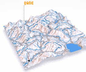 Places with similar names to Qanë, Albania ::
Disclaimer :: Information on this page comes without warranty of any kind |
||
|
Where is Qanë? Elevation and coordinates ::
Latitude (lat): 41°49'13"N Longitude (lon): 20°17'14"E
Elevation (approx.): 1071m (map arrows pan, magnifying glasses zoom) |
||
|
Visiting Qanë? Hotel/Accommodation ::
Book a hotel in Qanë Travel Guide ::
Buy a travel guide for Albania rental cars ::
car rental offers GPS waypoint ::
download a GPX waypoint (PoI) of Qanë for your GPS receiver
|
||