|
search place name
|
||
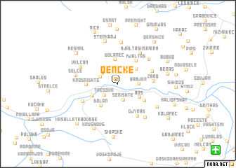
Qenckë (Korçë, Albania)Qenckë is a town in the Korçë region of Albania. An overview map of the region around Qenckë is displayed below.
regional and 3d topo map of Qenckë, Albania ::
Qenckë airports ::
The nearest airport is OHD - Ohrid, located 50.2 km north of Qenckë.
Other airports nearby include KSO - Kastoria Aristotelis (66.3 km south east), TIA - Tirana Rinas (105.2 km north west), KZI - Kozani Filippos (116.6 km south east), IOA - Ioannina (117.5 km south), Nearby towns ::
Senishtë (2.6km south) //
Tresovë (2.4km south west) //
Moçan (2.4km north west) //
Desmirë (2.8km north west) //
Babjen (2.5km east) //
Marjan (3.2km north east) //
Dolanec (3.9km north) //
(( Bos )) (3.4km south east) //
Dolan (4.0km south west) //
Zvarisht (3.6km south west) //
Mjaltas (4.3km north east) //
Plovisht-Bos (4.2km south east) //
Krosnishtë (3.8km west) //
Zboq (4.3km east) //
Mëmël-Manastirec (4.6km north east) //
Gjyras (5.6km south east) //
Mjaltasi i Sipërm (5.6km north east) //
(( Manastirec )) (5.3km north east) //
Lozhan (5.1km south west) //
Velçan (5.3km north west) //
Dërdushë (6.6km north) //
Selcë (5.2km west) //
Bickë (6.3km south east) //
Stërkanj (6.9km north) //
Goçë (6.0km south east) //
Beras (6.2km east) //
Krushovë (7.8km south) //
Mesmal (7.0km north west) //
Shipskë (8.4km south) //
[all distances 'as the bird flies' and approximate] 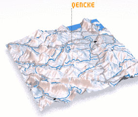 Places with similar names to Qenckë, Albania ::
Disclaimer :: Information on this page comes without warranty of any kind |
||
|
Where is Qenckë? Elevation and coordinates ::
Latitude (lat): 40°44'28"N Longitude (lon): 20°36'3"E
Elevation (approx.): 870m (map arrows pan, magnifying glasses zoom) |
||
|
Visiting Qenckë? Hotel/Accommodation ::
Book a hotel in Qenckë Travel Guide ::
Buy a travel guide for Albania rental cars ::
car rental offers GPS waypoint ::
download a GPX waypoint (PoI) of Qenckë for your GPS receiver
|
||