|
search place name
|
||
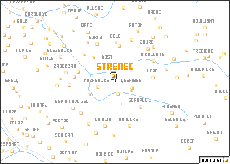
Strenec (Berat, Albania)Strenec is a town in the Berat region of Albania. An overview map of the region around Strenec is displayed below.
regional and 3d topo map of Strenec, Albania ::
Strenec airports ::
The nearest airport is KSO - Kastoria Aristotelis, located 80.0 km east of Strenec.
Other airports nearby include IOA - Ioannina (89.7 km south east), OHD - Ohrid (91.5 km north), CFU - Kerkyra/corfu Ioannis Kapodistrias Intl (97.4 km south), TIA - Tirana Rinas (122.7 km north west), Nearby towns ::
Kakos (2.0km south) //
Muzhenckë (2.3km west) //
Liçollar (2.4km south east) //
Qeshibes (2.4km south east) //
Dost (3.1km north) //
Kreshovë (3.6km south) //
Malind (3.8km south west) //
Koprenckë (4.7km north west) //
Gjergjovë (5.8km north) //
Soropull (5.2km south east) //
Miçan (4.7km east) //
Lopan (4.8km west) //
Çelë (6.4km north) //
Gërmenj (5.9km north west) //
Shënkoll (5.1km west) //
Sukaj (6.6km north) //
Nikollarë (5.9km north east) //
Odriçan (7.3km south) //
Gorçellar (7.2km north) //
Rog (5.6km west) //
Sevrani i Madh (6.6km south west) //
Borockë (7.5km south) //
Zhurë (6.8km north east) //
Visockë (7.3km north west) //
Sevrani i Vogël (6.8km south west) //
Zabërzan (6.2km west) //
Bejkollarë (7.6km south west) //
Sulejmanas (7.5km north east) //
(( Gostromickë )) (6.7km east) //
[all distances 'as the bird flies' and approximate] 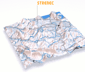 Places with similar names to Strenec, Albania ::
Disclaimer :: Information on this page comes without warranty of any kind |
||
|
Where is Strenec? Elevation and coordinates ::
Latitude (lat): 40°24'53"N Longitude (lon): 20°20'27"E
Elevation (approx.): 876m (map arrows pan, magnifying glasses zoom) |
||
|
Visiting Strenec? Hotel/Accommodation ::
Book a hotel in Strenec Travel Guide ::
Buy a travel guide for Albania rental cars ::
car rental offers GPS waypoint ::
download a GPX waypoint (PoI) of Strenec for your GPS receiver
|
||