|
search place name
|
||
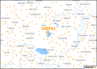
Xhapaj (Elbasan, Albania)Xhapaj is a town in the Elbasan region of Albania. An overview map of the region around Xhapaj is displayed below.
regional and 3d topo map of Xhapaj, Albania ::
Xhapaj airports ::
The nearest airport is TIA - Tirana Rinas, located 56.3 km north of Xhapaj.
Other airports nearby include OHD - Ohrid (78.0 km east), KSO - Kastoria Aristotelis (129.8 km south east), CFU - Kerkyra/corfu Ioannis Kapodistrias Intl (146.6 km south), IOA - Ioannina (158.0 km south east), Nearby towns ::
Çestije (1.0km south) //
Kajan (1.2km south east) //
Fejzullar (1.7km south) //
Canaj (1.4km east) //
Idrizaj (2.0km north) //
Çestije (2.0km south west) //
Turbull (2.8km south) //
Çepë (2.9km north west) //
Drizaj (2.6km north east) //
Korb (3.3km south) //
Gropa e Kuqe (2.7km east) //
Fierzë (2.7km west) //
Seferan (4.1km north) //
Hardhias (3.2km north west) //
Kuqollarët (3.8km north east) //
Gjinuk (3.9km south east) //
Gjashaj (4.6km north) //
Hazizollë (3.7km east) //
Dragot-Fermë (4.9km south) //
Hysaj (4.8km north) //
Mërhojë (5.1km north) //
Dragot-Dumre (5.2km south) //
Tafanaj (5.0km north east) //
Metollar (5.6km north) //
Qosë (5.2km south east) //
Belsh (5.9km north) //
Gjolenë (4.9km south east) //
Toçilë (4.8km east) //
Beqiraj (5.6km north west) //
[all distances 'as the bird flies' and approximate] 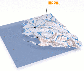
Disclaimer :: Information on this page comes without warranty of any kind |
||
|
Where is Xhapaj? Elevation and coordinates ::
Latitude (lat): 40°55'19"N Longitude (lon): 19°52'45"E
Elevation (approx.): 168m (map arrows pan, magnifying glasses zoom) |
||
|
Visiting Xhapaj? Hotel/Accommodation ::
Book a hotel in Xhapaj Travel Guide ::
Buy a travel guide for Albania rental cars ::
car rental offers GPS waypoint ::
download a GPX waypoint (PoI) of Xhapaj for your GPS receiver
|
||