|
search place name
|
||
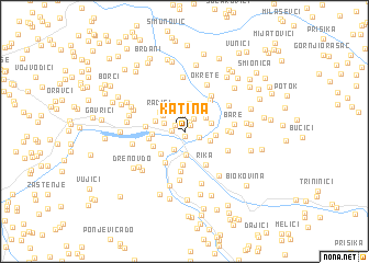
Katina (Federacija Bosne i Hercegovine, Bosnia and Herzegovina)Katina is a town in the Federacija Bosne i Hercegovine region of Bosnia and Herzegovina. An overview map of the region around Katina is displayed below.
regional and 3d topo map of Katina, Bosnia and Herzegovina ::
Katina airports ::
The nearest airport is SJJ - Sarajevo, located 103.2 km south east of Katina.
Other airports nearby include SPU - Split (118.7 km south west), OMO - Mostar (127.0 km south), ZAD - Zadar (155.6 km west), OSI - Osijek (174.0 km north east), Nearby towns ::
Jajce (0.4km south) //
Zjaje (0.8km north east) //
Carevo Polje (1.0km north) //
Lehovci (1.0km north west) //
Volijak (1.0km west) //
Zastinje (1.2km south east) //
Ladani (1.5km north east) //
Dobrik (1.6km north) //
Bage (1.9km south west) //
Skela (2.3km south) //
Vrbica (1.8km north west) //
Klimenta (2.1km north east) //
Peratovci (2.3km north east) //
Zabarje (2.0km south east) //
Dodići (2.3km north west) //
Prudi (2.1km north east) //
Blaževići (2.9km north) //
Lučina (2.2km east) //
Ćosići (2.4km north west) //
Radići (2.8km north west) //
Kamenice (2.9km south west) //
Zaskopolje (2.4km west) //
Donja Bukovica (3.4km south) //
Pšenik (3.1km north east) //
Vinogradi (2.7km south west) //
Čusine (2.7km west) //
Bravnice (3.4km south west) //
Rika (3.7km south east) //
Donje Mile (2.9km west) //
[all distances 'as the bird flies' and approximate] 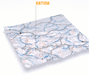 Places with similar names to Katina, Bosnia and Herzegovina ::
Disclaimer :: Information on this page comes without warranty of any kind |
||
|
Where is Katina? Elevation and coordinates ::
Latitude (lat): 44°20'46"N Longitude (lon): 17°15'57"E
Elevation (approx.): 461m (map arrows pan, magnifying glasses zoom) |
||
|
Visiting Katina? Hotel/Accommodation ::
Book a hotel in Katina Travel Guide ::
rental cars ::
car rental offers GPS waypoint ::
download a GPX waypoint (PoI) of Katina for your GPS receiver
|
||