|
search place name
|
||
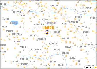
Udora (Federacija Bosne i Hercegovine, Bosnia and Herzegovina)Udora is a town in the Federacija Bosne i Hercegovine region of Bosnia and Herzegovina. An overview map of the region around Udora is displayed below.
regional and 3d topo map of Udora, Bosnia and Herzegovina ::
Udora airports ::
The nearest airport is OMO - Mostar, located 31.7 km north of Udora.
Other airports nearby include DBV - Dubrovnik (56.7 km south east), TIV - Tivat (93.5 km south east), SJJ - Sarajevo (97.1 km north), TGD - Podgorica (130.4 km south east), Nearby towns ::
Ober (0.5km west) //
Kučinari (1.1km south east) //
Doluša (1.2km west) //
Matića Mahala (1.6km north west) //
Pusišta (1.9km north) //
Burmazi (2.7km north) //
Kadića Dubrava (2.6km north west) //
Bjelovčeva Mahala (2.5km north west) //
Ridica (2.5km east) //
Grdijevići (3.5km north) //
Banja (3.5km south) //
Musina Kula (2.7km east) //
Podkula (3.4km south west) //
Radiševina (3.9km south) //
Drenovac (3.8km north) //
Donja Duboka (3.6km north east) //
Festići (3.2km east) //
Brkovina (3.4km north west) //
Perkovina (3.9km north west) //
Gaj (4.7km south) //
Bačnik (4.8km north) //
Gornja Duboka (3.7km north east) //
Rabrani (3.9km south west) //
Vlaka (4.8km south) //
Janjići (3.8km south east) //
Rujevi Do (4.8km south) //
Gornje Hrasno (5.3km south) //
Podbrde (5.3km north) //
Grahovište (5.4km south) //
[all distances 'as the bird flies' and approximate] 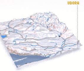 Places with similar names to Udora, Bosnia and Herzegovina ::
Disclaimer :: Information on this page comes without warranty of any kind |
||
|
Where is Udora? Elevation and coordinates ::
Latitude (lat): 43°0'11"N Longitude (lon): 17°55'17"E
Elevation (approx.): 273m (map arrows pan, magnifying glasses zoom) |
||
|
Visiting Udora? Hotel/Accommodation ::
Book a hotel in Udora Travel Guide ::
rental cars ::
car rental offers GPS waypoint ::
download a GPX waypoint (PoI) of Udora for your GPS receiver
|
||