|
search place name
|
||
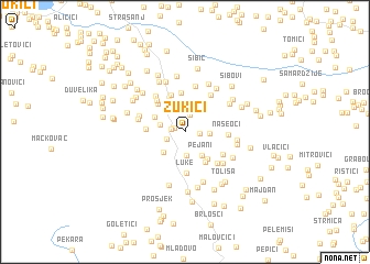
Zukići (Bosnia and Herzegovina)Zukići is a town in Bosnia and Herzegovina. An overview map of the region around Zukići is displayed below.
regional and 3d topo map of Zukići, Bosnia and Herzegovina ::
Zukići airports ::
The nearest airport is SJJ - Sarajevo, located 66.7 km south west of Zukići.
Other airports nearby include OSI - Osijek (121.9 km north), OMO - Mostar (138.2 km south west), BEG - Beograd (138.5 km east), DBV - Dubrovnik (203.7 km south), Nearby towns ::
Fočaci (0.8km north west) //
Podgalevi (1.0km west) //
Kršići (1.1km east) //
Dunojevići (1.8km north) //
Mujanovići (1.5km south west) //
Crijevčići (2.4km south) //
Jelah (1.9km west) //
Katani (1.8km east) //
Boškovići (2.5km north west) //
Pejani (2.7km south east) //
Lupoglavo (2.6km south west) //
Vrnojevići (2.7km north west) //
Nevrenča (3.4km north) //
Matijevići (3.2km south east) //
Tomići (3.4km south east) //
Juroševići (3.4km north west) //
Djedina (2.8km west) //
Savino Brdo (3.9km north) //
Pasjača (3.8km north) //
Luke (4.2km south) //
Živčići (3.8km north west) //
Naseoci (3.1km east) //
Omačevići (3.5km south east) //
Erkići (4.0km south east) //
Husići (4.2km north east) //
Ðurđevik (4.2km north west) //
Bašigovci (4.7km north) //
Brnjica Gornja (3.6km west) //
Brnjica Donja (3.7km north west) //
[all distances 'as the bird flies' and approximate] 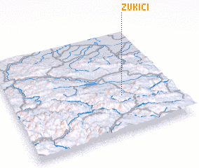 Places with similar names to Zukići, Bosnia and Herzegovina ::
Disclaimer :: Information on this page comes without warranty of any kind |
||
|
Where is Zukići? Elevation and coordinates ::
Latitude (lat): 44°22'10"N Longitude (lon): 18°40'55"E
Elevation (approx.): 428m (map arrows pan, magnifying glasses zoom) |
||
|
Visiting Zukići? Hotel/Accommodation ::
Book a hotel in Zukići Travel Guide ::
rental cars ::
car rental offers GPS waypoint ::
download a GPX waypoint (PoI) of Zukići for your GPS receiver
|
||