|
search place name
|
||
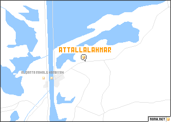
At Tall al Aḩmar (Al Ismā‘īlīyah, Egypt)At Tall al Aḩmar is a town in the Al Ismā‘īlīyah region of Egypt. An overview map of the region around At Tall al Aḩmar is displayed below.
regional and 3d topo map of At Tall al Aḩmar, Egypt ::
At Tall al Aḩmar airports ::
The nearest airport is PSD - Port Said, located 44.2 km north of At Tall al Aḩmar.
Other airports nearby include CAI - Cairo Intl (127.5 km south west), Nearby towns ::
Al Qanţarah (7.4km south west) //
Al Qanţarah ash Sharqīyah (7.4km south west) //
[all distances 'as the bird flies' and approximate] 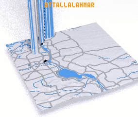 Places with similar names to At Tall al Aḩmar, Egypt ::
// At Tall al Aḩmar (EG)
Disclaimer :: Information on this page comes without warranty of any kind |
||
|
Where is At Tall al Aḩmar? Elevation and coordinates ::
Latitude (lat): 30°54'0"N Longitude (lon): 32°23'0"E
Elevation (approx.): 6m (map arrows pan, magnifying glasses zoom) |
||
|
Visiting At Tall al Aḩmar? Hotel/Accommodation ::
Book a hotel in At Tall al Aḩmar Travel Guide ::
Buy a travel guide for Egypt rental cars ::
car rental offers GPS waypoint ::
download a GPX waypoint (PoI) of At Tall al Aḩmar for your GPS receiver
|
||