|
search place name
|
||
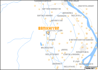
Banī Khiyār (Al Minyā, Egypt)Banī Khiyār is a town in the Al Minyā region of Egypt. An overview map of the region around Banī Khiyār is displayed below.
regional and 3d topo map of Banī Khiyār, Egypt ::
Nearby towns ::
Zāwiyat Ḩātim (1.2km south) //
Banī Sa‘īd (1.6km south) //
Naj‘ ‘Arabī (1.6km west) //
Al Qarāyshah (2.6km north west) //
Kafr al Fuqqā‘ī (2.5km east) //
As Sulţān Ḩasan (3.0km south) //
Al Manshīyah al Qiblīyah (3.1km north) //
Şannīm (3.2km south east) //
Kafr al Fiyalah (3.6km south) //
Kafr al Fayalah (3.6km south) //
Naj‘ ‘Arab as Sulţān Ḩasan (4.2km south west) //
Banī Mūsá (4.3km east) //
Rayḩānah (4.6km east) //
Al Birbā al Kubrá (4.8km south east) //
Dimshāw Hāshim (5.3km north) //
Dayr ‘Aţīyah (5.2km north east) //
Balanşūrah (6.0km south) //
Şafţ al Khammār (6.4km north) //
Al Ḩisānīyah (6.9km south east) //
An Naḩḩāl (6.8km south east) //
Ţahnashā (7.6km north east) //
Kawm al Maḩraş al Baḩrī (7.5km east) //
Mantūt (8.2km south east) //
Ismant (8.6km south) //
Nazlat Ismant (8.6km south) //
Banī ‘Ubayd (7.9km east) //
Şafţ ash Sharqīyah (8.9km north) //
Kafr Libs (9.0km south) //
Jarrīs (8.7km south east) //
[all distances 'as the bird flies' and approximate] 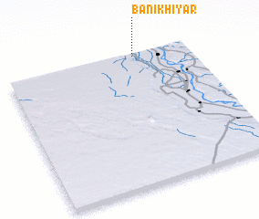 Places with similar names to Banī Khiyār, Egypt :: Disclaimer :: Information on this page comes without warranty of any kind |
||
|
Where is Banī Khiyār? Elevation and coordinates ::
Latitude (lat): 27°58'35"N Longitude (lon): 30°42'15"E
Elevation (approx.): 48m (map arrows pan, magnifying glasses zoom) |
||
|
Visiting Banī Khiyār? Hotel/Accommodation ::
Book a hotel in Banī Khiyār Travel Guide ::
Buy a travel guide for Egypt rental cars ::
car rental offers GPS waypoint ::
download a GPX waypoint (PoI) of Banī Khiyār for your GPS receiver
|
||