|
search place name
|
||
‘Izbat ad Dawwār (Al Buḩayrah, Egypt)‘Izbat ad Dawwār is a town in the Al Buḩayrah region of Egypt. An overview map of the region around ‘Izbat ad Dawwār is displayed below.
regional and 3d topo map of ‘Izbat ad Dawwār, Egypt ::

‘Izbat ad Dawwār airports ::
The nearest airport is ALY - Alexandria Intl, located 18.3 km north west of ‘Izbat ad Dawwār.
Other airports nearby include CAI - Cairo Intl (164.4 km south east), Nearby towns ::
‘Izbat al Ḩamrāʼ (2.1km south) //
Sîdî Ghâzi (2.2km south) //
‘Arab Kawm al Birkah (2.4km north) //
‘Izbat Ismā‘īl Şidqī Bāshā (2.7km south west) //
Manshīyat Sulaymān ‘Āmir (3.3km north east) //
Manshīyat al Hilbāwī (4.9km south east) //
Al Wasţānīyah (6.1km north east) //
Al Baslaqūn (6.0km north east) //
‘Izbat ‘Abdū Bāshā (6.3km east) //
‘Izbat Abū Ma‘tūq (6.3km east) //
Abīs al Mustajaddah (7.5km north) //
Manshīyat al Awqāf (7.7km north) //
Kawm Ishū (7.6km north west) //
Bardalah (8.1km north east) //
As Sa‘rānīyah (8.5km north east) //
Minshāt ‘Umar Barakāt (8.9km south) //
Kafr Salīm (9.0km north) //
‘Izbat Kawm al Baqar (7.9km east) //
Kafr ad Dawwār (8.9km north east) //
‘Izbat Mirjān (8.4km north east) //
[all distances 'as the bird flies' and approximate] 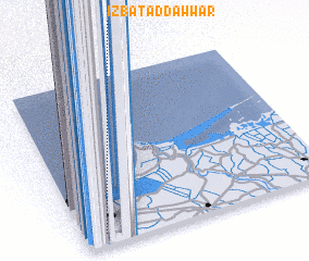 Places with similar names to ‘Izbat ad Dawwār, Egypt ::
Disclaimer :: Information on this page comes without warranty of any kind |
||
|
Where is ‘Izbat ad Dawwār? Elevation and coordinates ::
Latitude (lat): 31°4'7"N Longitude (lon): 30°5'12"E
Elevation (approx.): -3m (map arrows pan, magnifying glasses zoom) |
||
|
Visiting ‘Izbat ad Dawwār? Hotel/Accommodation ::
Book a hotel in ‘Izbat ad Dawwār Travel Guide ::
Buy a travel guide for Egypt rental cars ::
car rental offers GPS waypoint ::
download a GPX waypoint (PoI) of ‘Izbat ad Dawwār for your GPS receiver
|
||