|
search place name
|
||
Nag` el-`Idwa (Aswān, Egypt)Nag` el-`Idwa is a town in the Aswān region of Egypt. An overview map of the region around Nag` el-`Idwa is displayed below.
regional and 3d topo map of Nag` el-`Idwa, Egypt ::

Nag` el-`Idwa airports ::
The nearest airport is ASW - Aswan Intl, located 59.7 km south of Nag` el-`Idwa.
Other airports nearby include LXR - Luxor Intl (130.9 km north), Nearby towns ::
Munayḩah (1.9km south) //
Iqlīt (4.4km north east) //
Umm Ḩāmiḑ (5.8km south) //
Ar Raghāmah (6.5km north east) //
Kawm Umbū (6.5km east) //
Bimbān (7.4km south) //
Naj‘ al Khibrah at Taḩtānīyah (7.6km south) //
Naj‘ al Khibrah al Wasţānīyah (7.6km south) //
Naj‘ ash Shaţb al Kabīr (7.5km south east) //
Al Manşūrīyah (8.1km south east) //
[all distances 'as the bird flies' and approximate] 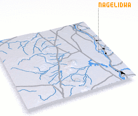 Places with similar names to Nag` el-`Idwa, Egypt ::
// Ngeltowa (NG)
Disclaimer :: Information on this page comes without warranty of any kind |
||
|
Where is Nag` el-`Idwa? Elevation and coordinates ::
Latitude (lat): 24°30'0"N Longitude (lon): 32°53'0"E
Elevation (approx.): 95m (map arrows pan, magnifying glasses zoom) |
||
|
Visiting Nag` el-`Idwa? Hotel/Accommodation ::
Book a hotel in Nag` el-`Idwa Travel Guide ::
Buy a travel guide for Egypt rental cars ::
car rental offers GPS waypoint ::
download a GPX waypoint (PoI) of Nag` el-`Idwa for your GPS receiver
|
||