|
search place name
|
||
Naj‘ al Ghalālāb (Aswān, Egypt)Naj‘ al Ghalālāb is a town in the Aswān region of Egypt. An overview map of the region around Naj‘ al Ghalālāb is displayed below.
regional and 3d topo map of Naj‘ al Ghalālāb, Egypt ::

Naj‘ al Ghalālāb airports ::
The nearest airport is ASW - Aswan Intl, located 19.8 km south of Naj‘ al Ghalālāb.
Other airports nearby include LXR - Luxor Intl (171.3 km north), ABS - Abu Simbel (234.1 km south west), Nearby towns ::
Naj‘ al Madābb (1.9km south) //
Naj‘ ash Shadīd (1.9km south) //
Naj‘ al Qarwad (1.9km north) //
Naj‘ ash Shalābāb (1.7km east) //
Naj‘ al ‘Amrāb (2.5km south east) //
Naj‘ al ‘Ushbāb (2.5km south east) //
Naj‘ Jāmi‘ al Jazīrah (2.5km south east) //
Naj‘ al Ḩijāb al Fawqānī (2.5km north east) //
Abū ar Rīsh Qiblī (2.5km north east) //
Aswān (5.3km south) //
Al Mulaqqaţah (5.6km north) //
Manshīyat as Sayl al Jadīdah (6.5km south east) //
Al Manshīyah (6.5km south east) //
Naj‘ al Maḩaţţah (7.4km south) //
Al Khaţţārah (7.4km north) //
Abū ar Rīsh Baḩrī (7.4km north) //
[all distances 'as the bird flies' and approximate] 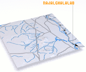 Places with similar names to Naj‘ al Ghalālāb, Egypt :: Disclaimer :: Information on this page comes without warranty of any kind |
||
|
Where is Naj‘ al Ghalālāb? Elevation and coordinates ::
Latitude (lat): 24°8'0"N Longitude (lon): 32°53'0"E
Elevation (approx.): 93m (map arrows pan, magnifying glasses zoom) |
||
|
Visiting Naj‘ al Ghalālāb? Hotel/Accommodation ::
Book a hotel in Naj‘ al Ghalālāb Travel Guide ::
Buy a travel guide for Egypt rental cars ::
car rental offers GPS waypoint ::
download a GPX waypoint (PoI) of Naj‘ al Ghalālāb for your GPS receiver
|
||