|
search place name
|
||
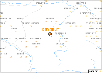
Dryanŭt (Bulgaria)Dryanŭt is a town in Bulgaria. An overview map of the region around Dryanŭt is displayed below.
regional and 3d topo map of Dryanŭt, Bulgaria ::
Dryanŭt airports ::
The nearest airport is GOZ - Gorna Orechovica Gorna Oryahovitsa, located 61.5 km north east of Dryanŭt.
Other airports nearby include PDV - Plovdiv (90.5 km south), SOF - Sofia (137.2 km west), CRA - Craiova (187.2 km north west), BBU - Bucharest Aurel Vlaicu (200.1 km north east), Nearby towns ::
Selishte (0.0km north) //
Stokite (0.0km north) //
Popska (1.9km north) //
Tumbalovo (2.7km east) //
Ugorelets (4.6km south east) //
Valevtsi (4.6km south east) //
Shumata (5.6km north) //
Kastel (5.7km north) //
Karamichevska (5.7km north) //
Enev Rŭt (5.7km north) //
Voynishka (4.5km south west) //
Kupen (4.5km south east) //
Tabashka (5.5km south west) //
Kameshtitsa (6.6km north east) //
Penkovtsi (6.6km north east) //
Dushevski Kolibi (6.6km north west) //
[all distances 'as the bird flies' and approximate] 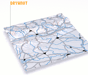 Places with similar names to Dryanŭt, Bulgaria :: Disclaimer :: Information on this page comes without warranty of any kind |
||
|
Where is Dryanŭt? Elevation and coordinates ::
Latitude (lat): 42°52'0"N Longitude (lon): 25°4'0"E
Elevation (approx.): 463m (map arrows pan, magnifying glasses zoom) |
||
|
Visiting Dryanŭt? Hotel/Accommodation ::
Book a hotel in Dryanŭt Travel Guide ::
Buy a travel guide for Bulgaria rental cars ::
car rental offers GPS waypoint ::
download a GPX waypoint (PoI) of Dryanŭt for your GPS receiver
|
||