|
search place name
|
||
Kamenna Riksa (Bulgaria)Kamenna Riksa is a town in Bulgaria. An overview map of the region around Kamenna Riksa is displayed below.
regional and 3d topo map of Kamenna Riksa, Bulgaria ::

Kamenna Riksa airports ::
The nearest airport is SOF - Sofia, located 89.7 km south of Kamenna Riksa.
Other airports nearby include INI - Nis (96.8 km west), CRA - Craiova (117.7 km north east), SKP - Skopje (202.5 km south west), PDV - Plovdiv (214.0 km south east), Nearby towns ::
Chemish (2.8km south east) //
Chelyustnitsa (3.4km south west) //
Vinishte (4.0km north east) //
Vidlitsa (4.8km south east) //
Gorna Kovachitsa (5.6km south west) //
Ilitsa (6.3km south) //
Klisuritsa (6.7km north) //
Gavril Genovo (6.7km south) //
Gorna Verenitsa (5.3km east) //
Belimel (5.7km south west) //
Smolyanovtsi (6.6km north west) //
Georgi-Damyanovo (7.8km south) //
Sotuchino (8.4km south) //
Pomezhdin (9.5km south west) //
Ravna (10.0km south west) //
[all distances 'as the bird flies' and approximate] 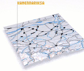 Places with similar names to Kamenna Riksa, Bulgaria :: Disclaimer :: Information on this page comes without warranty of any kind |
||
|
Where is Kamenna Riksa? Elevation and coordinates ::
Latitude (lat): 43°27'22"N Longitude (lon): 23°2'15"E
Elevation (approx.): 462m (map arrows pan, magnifying glasses zoom) |
||
|
Visiting Kamenna Riksa? Hotel/Accommodation ::
Book a hotel in Kamenna Riksa Travel Guide ::
Buy a travel guide for Bulgaria rental cars ::
car rental offers GPS waypoint ::
download a GPX waypoint (PoI) of Kamenna Riksa for your GPS receiver
|
||