|
search place name
|
||
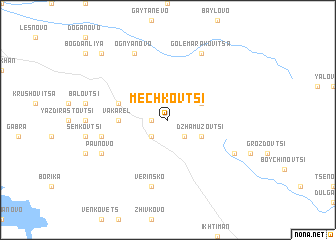
Mechkovtsi (Bulgaria)Mechkovtsi is a town in Bulgaria. An overview map of the region around Mechkovtsi is displayed below.
regional and 3d topo map of Mechkovtsi, Bulgaria ::
Mechkovtsi airports ::
The nearest airport is SOF - Sofia, located 33.7 km north west of Mechkovtsi.
Other airports nearby include PDV - Plovdiv (104.2 km south east), GOZ - Gorna Orechovica Gorna Oryahovitsa (172.5 km north east), INI - Nis (178.9 km north west), KVA - Kavala Megas Alexandros Intl (195.1 km south), Nearby towns ::
Dragiovtsi (1.4km west) //
Panovtsi (2.3km south east) //
Bogdanovtsi (2.3km south east) //
Rŭzhana (2.3km south west) //
Buzyakovtsi (3.3km south east) //
Dzhamuzovtsi (3.3km south east) //
Bŭrdo (3.3km north east) //
Vakarel (4.1km west) //
Khanovete (4.5km north west) //
Selyanin (4.5km north west) //
Popovtsi (5.8km west) //
Verinsko (7.5km south) //
Gŭrdezh (6.6km south east) //
Suevtsi (6.6km south east) //
Barata (6.6km south east) //
Paunovo (6.6km south west) //
Golema Rakovitsa (7.9km north) //
Ognyanovo (7.9km north) //
Karapoltsi (9.2km north west) //
[all distances 'as the bird flies' and approximate] 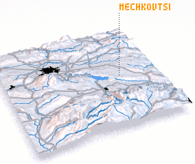 Places with similar names to Mechkovtsi, Bulgaria ::
// Machkovtsi (BG)
// Mechkovitsa (BG)
// Michkovtsi (BG)
// Mishkovtsi (BG)
// Moshkovtse (UA)
// Myshkovtse (UA)
// Mashkovtsy (RU)
Disclaimer :: Information on this page comes without warranty of any kind |
||
|
Where is Mechkovtsi? Elevation and coordinates ::
Latitude (lat): 42°33'0"N Longitude (lon): 23°46'0"E
Elevation (approx.): 954m (map arrows pan, magnifying glasses zoom) |
||
|
Visiting Mechkovtsi? Hotel/Accommodation ::
Book a hotel in Mechkovtsi Travel Guide ::
Buy a travel guide for Bulgaria rental cars ::
car rental offers GPS waypoint ::
download a GPX waypoint (PoI) of Mechkovtsi for your GPS receiver
|
||