|
search place name
|
||
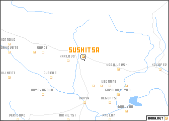
Sushitsa (Bulgaria)Sushitsa is a town in Bulgaria. An overview map of the region around Sushitsa is displayed below.
regional and 3d topo map of Sushitsa, Bulgaria ::
Sushitsa airports ::
The nearest airport is PDV - Plovdiv, located 62.8 km south of Sushitsa.
Other airports nearby include GOZ - Gorna Orechovica Gorna Oryahovitsa (92.1 km north east), SOF - Sofia (117.2 km west), KVA - Kavala Megas Alexandros Intl (191.9 km south), CRA - Craiova (202.2 km north), Nearby towns ::
Karlovo (2.7km west) //
Sokolitsa (5.7km south) //
Marino Pole (6.2km south east) //
Vasil Levski (5.8km east) //
Vedrare (6.9km south east) //
Dŭbene (6.6km south west) //
Gorni Domlyan (9.2km south east) //
[all distances 'as the bird flies' and approximate] 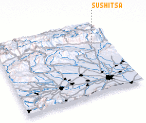 Places with similar names to Sushitsa, Bulgaria ::
// Sichów Duży (PL)
// Sushitsa (BG)
// Hsi-chou-tzu (TW)
// Hsi-chou-tzu (TW)
// Čechtice (CZ)
// Sushitsa (BG)
// Čichtice (CZ)
// Sashytsa (BY)
// Hsi-chou-tzu (TW)
// Hsi-chou-tzu (TW)
Disclaimer :: Information on this page comes without warranty of any kind |
||
|
Where is Sushitsa? Elevation and coordinates ::
Latitude (lat): 42°38'0"N Longitude (lon): 24°50'0"E
Elevation (approx.): 487m (map arrows pan, magnifying glasses zoom) |
||
|
Visiting Sushitsa? Hotel/Accommodation ::
Book a hotel in Sushitsa Travel Guide ::
Buy a travel guide for Bulgaria rental cars ::
car rental offers GPS waypoint ::
download a GPX waypoint (PoI) of Sushitsa for your GPS receiver
|
||