|
search place name
|
||
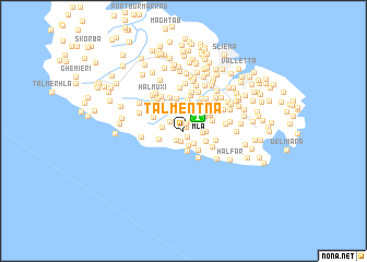
Tal-Mentna (Malta)Tal-Mentna is a town in Malta. An overview map of the region around Tal-Mentna is displayed below.
regional and 3d topo map of Tal-Mentna, Malta ::
Tal-Mentna airports ::
The nearest airport is MLA - Malta Luqa, located 2.0 km north east of Tal-Mentna.
Other airports nearby include LMP - Lampedusa (171.5 km west), NSY - Sigonella (177.8 km north), CTA - Catania Fontanarossa (188.1 km north), Nearby towns ::
Mqabba (0.4km north east) //
Tal-Kittienija (0.7km south east) //
Taʼ Kandja (0.8km north) //
Tal-Fulija (1.0km south) //
Qrendi (1.1km south west) //
Tad-Dawl (1.1km north east) //
Ħal-Lew (1.5km south) //
Tas-Salvatur (1.4km north west) //
Żurrieq (1.6km south east) //
Tal-Fieres (1.6km east) //
Nigred (2.1km south) //
Taʼ Ħaxxluq (1.8km west) //
Kirkop (1.9km east) //
Safi (2.1km south east) //
Bubaqra (2.4km south east) //
Taʼ San Niklaw (2.2km west) //
Taʼ Danieli (2.4km north east) //
Wied Fulija (3.0km south east) //
Taʼ Bir Miftuħ (2.6km north east) //
Tal-Ħandaq (3.1km north) //
Taċ-Ċawla (2.7km north east) //
Luqa (2.8km north east) //
Għar Ram (3.3km north) //
Misraħ Ħlantun (2.9km south east) //
Siġġiewi (2.9km north west) //
Tal-Liebru (2.8km east) //
It-Troll (3.3km north west) //
Tal-Ħlas (3.6km north) //
L-Armier (3.7km north) //
[all distances 'as the bird flies' and approximate]  Places with similar names to Tal-Mentna, Malta :: Disclaimer :: Information on this page comes without warranty of any kind |
||
|
Where is Tal-Mentna? Elevation and coordinates ::
Latitude (lat): 35°50'34"N Longitude (lon): 14°27'52"E
Elevation (approx.): 100m (map arrows pan, magnifying glasses zoom) |
||
|
Visiting Tal-Mentna? Hotel/Accommodation ::
Book a hotel in Tal-Mentna Travel Guide ::
Buy a travel guide for Malta rental cars ::
car rental offers GPS waypoint ::
download a GPX waypoint (PoI) of Tal-Mentna for your GPS receiver
|
||