|
search place name
|
||
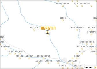
Agăştin (Covurlui, Romania)Agăştin is a town in the Covurlui region of Romania. An overview map of the region around Agăştin is displayed below.
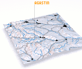
regional and 3d topo map of Agăştin, Romania ::
Agăştin airports ::
The nearest airport is BCM - Bacau, located 41.7 km east of Agăştin.
Other airports nearby include IAS - Iasi (119.5 km north east), SCV - Suceava Stefan Cel Mare (128.3 km north), TGM - Tirgu Mures Vidrasau (150.2 km west), OTP - Bucharest Henri Coanda (218.9 km south), Nearby towns ::
 Places with similar names to Agăştin, Romania ::
// Augustine (BZ)
// Agustín (BO)
// Augustin (US)
// Aggstein (AT)
// Augustine (US)
// Augustynów (PL)
// Augustynów (PL)
// Augustynów (PL)
// Augustynów (PL)
// Augustyny (PL)
Disclaimer :: Information on this page comes without warranty of any kind |
||
|
Where is Agăştin? Elevation and coordinates ::
Latitude (lat): 46°32'0"N Longitude (lon): 26°22'0"E
Elevation (approx.): 654m (map arrows pan, magnifying glasses zoom) |
||
|
Visiting Agăştin? Hotel/Accommodation ::
Book a hotel in Agăştin Travel Guide ::
Buy a travel guide for Romania rental cars ::
car rental offers GPS waypoint ::
download a GPX waypoint (PoI) of Agăştin for your GPS receiver
|
||