|
search place name
|
||
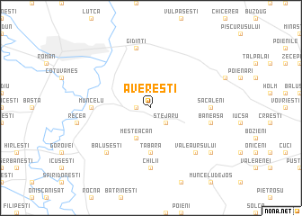
Avereşti (Covurlui, Romania)Avereşti is a town in the Covurlui region of Romania. An overview map of the region around Avereşti is displayed below.
regional and 3d topo map of Avereşti, Romania ::
Avereşti airports ::
The nearest airport is BCM - Bacau, located 39.5 km south of Avereşti.
Other airports nearby include IAS - Iasi (56.5 km north east), SCV - Suceava Stefan Cel Mare (104.7 km north west), KIV - Kichinau Fir/acc/com Chisinau Intl (144.8 km east), TCE - Tulcea Cataloi (239.1 km south east), Nearby towns ::
Izvoru (1.3km west) //
Stejaru (2.2km south east) //
Mesteacăn (3.9km south) //
Tabăra (5.6km south) //
Muncelu (5.1km west) //
Săcăleni (5.1km east) //
Chilii (7.4km south) //
Gîdinţi (7.5km north) //
Băneasa (5.4km east) //
Băluşeşti (6.7km south west) //
Valea Ursului (6.7km south east) //
Giurgeni (7.5km south east) //
[all distances 'as the bird flies' and approximate] 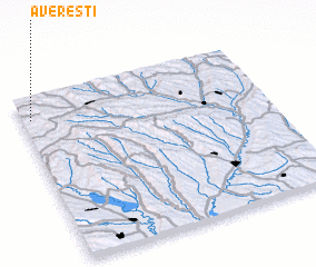
Disclaimer :: Information on this page comes without warranty of any kind |
||
|
Where is Avereşti? Elevation and coordinates ::
Latitude (lat): 46°52'0"N Longitude (lon): 27°2'0"E
Elevation (approx.): 256m (map arrows pan, magnifying glasses zoom) |
||
|
Visiting Avereşti? Hotel/Accommodation ::
Book a hotel in Avereşti Travel Guide ::
Buy a travel guide for Romania rental cars ::
car rental offers GPS waypoint ::
download a GPX waypoint (PoI) of Avereşti for your GPS receiver
|
||