|
search place name
|
||
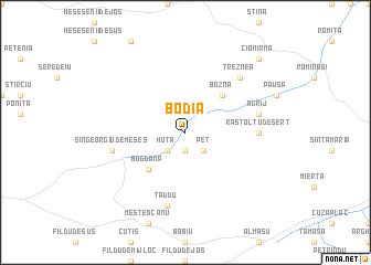
Bodia (Covurlui, Romania)Bodia is a town in the Covurlui region of Romania. An overview map of the region around Bodia is displayed below.
regional and 3d topo map of Bodia, Romania ::
Bodia airports ::
The nearest airport is CLJ - Cluj-napoca Cluj Napoca, located 55.6 km south east of Bodia.
Other airports nearby include SUJ - Satu Mare (73.9 km north), BAY - Baia Mare Tautii Magheraus (74.2 km north east), OMR - Oradea (88.5 km west), DEB - Debrecen (120.2 km north west), Nearby towns ::
Buciumi (1.9km south) //
Peţ (2.2km south east) //
Răstolţ (2.2km south east) //
Huta (2.2km south west) //
Bozna (4.5km north east) //
Bogdana (4.5km south west) //
Răstolţu-Deşert (5.1km east) //
Agrij (5.4km east) //
Sîngeorgiu de Meseş (5.4km west) //
Ţăudu (7.5km south) //
Treznea (6.7km north east) //
Ciomîrna (9.0km north east) //
[all distances 'as the bird flies' and approximate] 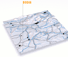 Places with similar names to Bodia, Romania ::
Disclaimer :: Information on this page comes without warranty of any kind |
||
|
Where is Bodia? Elevation and coordinates ::
Latitude (lat): 47°3'0"N Longitude (lon): 23°4'0"E
Elevation (approx.): 325m (map arrows pan, magnifying glasses zoom) |
||
|
Visiting Bodia? Hotel/Accommodation ::
Book a hotel in Bodia Travel Guide ::
Buy a travel guide for Romania rental cars ::
car rental offers GPS waypoint ::
download a GPX waypoint (PoI) of Bodia for your GPS receiver
|
||