|
search place name
|
||
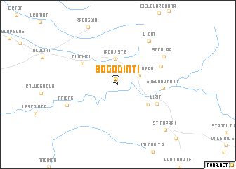
Bogodinţi (Caraş-Severin, Romania)Bogodinţi is a town in the Caraş-Severin region of Romania. An overview map of the region around Bogodinţi is displayed below.
regional and 3d topo map of Bogodinţi, Romania ::
Bogodinţi airports ::
The nearest airport is CSB - Caransebes, located 73.2 km north east of Bogodinţi.
Other airports nearby include TSR - Timisoara Traian Vuia (103.0 km north), BEG - Beograd (107.3 km west), ARW - Arad (144.0 km north), INI - Nis (175.6 km south), Nearby towns ::
Slatina-Nera (2.8km north east) //
Petrilova (3.1km north west) //
Macovişte (4.1km north) //
Sasca Montană (4.7km south east) //
Ciuchici (5.2km north west) //
Vîrîţi (5.4km south east) //
Sasca Română (5.1km east) //
Potoc (5.6km north east) //
Ilidia (7.7km north east) //
Socolari (6.8km north east) //
Naidăş (6.6km south west) //
Stinăpari (8.9km south east) //
[all distances 'as the bird flies' and approximate] 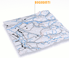 Places with similar names to Bogodinţi, Romania ::
// Bogdand (RO)
// Bogdăniţa (RO)
// Bokoutinnti (ML)
// Boukoutinnti (ML)
// Boukoutinnti (ML)
// Bégadanet (FR)
Disclaimer :: Information on this page comes without warranty of any kind |
||
|
Where is Bogodinţi? Elevation and coordinates ::
Latitude (lat): 44°54'41"N Longitude (lon): 21°39'39"E
Elevation (approx.): 224m (map arrows pan, magnifying glasses zoom) |
||
|
Visiting Bogodinţi? Hotel/Accommodation ::
Book a hotel in Bogodinţi Travel Guide ::
Buy a travel guide for Romania rental cars ::
car rental offers GPS waypoint ::
download a GPX waypoint (PoI) of Bogodinţi for your GPS receiver
|
||