|
search place name
|
||
Cernicari (Covurlui, Romania)Cernicari is a town in the Covurlui region of Romania. An overview map of the region around Cernicari is displayed below.
regional and 3d topo map of Cernicari, Romania ::

Cernicari airports ::
The nearest airport is BCM - Bacau, located 88.2 km north west of Cernicari.
Other airports nearby include TCE - Tulcea Cataloi (130.7 km south east), IAS - Iasi (152.1 km north), KIV - Kichinau Fir/acc/com Chisinau Intl (168.9 km north east), OTP - Bucharest Henri Coanda (173.4 km south west), Nearby towns ::
Malu Alb (2.6km east) //
Pepiniera Nicoreşti (3.9km north) //
Criviţeni (3.9km north) //
Drăgăneşti (4.5km south east) //
Tecuciu Nou (5.7km north) //
Tecuci (5.7km north) //
Dorăşti (6.1km south east) //
Barcea Veche (7.4km south) //
Podoleni (7.4km south) //
Barcea Nouă (7.9km south) //
Barcea (7.9km south) //
Movilenii de Jos (9.0km south west) //
[all distances 'as the bird flies' and approximate] 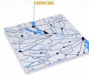 Places with similar names to Cernicari, Romania ::
// Serra Negra (BR)
// Serra Negra (BR)
// Serra Negra (BR)
// Serra Negra (BR)
// Serra Negra (BR)
// Cerro Negro (PA)
// Cerro Negro (PA)
// Sŭrnegor (BG)
// Srīnagar (BD)
// Srīnagar (BD)
Disclaimer :: Information on this page comes without warranty of any kind |
||
|
Where is Cernicari? Elevation and coordinates ::
Latitude (lat): 45°49'0"N Longitude (lon): 27°26'0"E
Elevation (approx.): 30m (map arrows pan, magnifying glasses zoom) |
||
|
Visiting Cernicari? Hotel/Accommodation ::
Book a hotel in Cernicari Travel Guide ::
Buy a travel guide for Romania rental cars ::
car rental offers GPS waypoint ::
download a GPX waypoint (PoI) of Cernicari for your GPS receiver
|
||