|
search place name
|
||
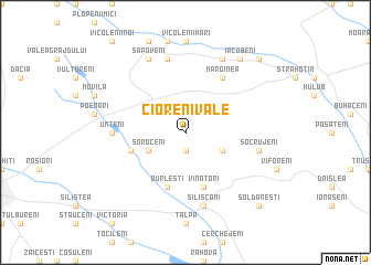
Cioreni Vale (Covurlui, Romania)Cioreni Vale is a town in the Covurlui region of Romania. An overview map of the region around Cioreni Vale is displayed below.
regional and 3d topo map of Cioreni Vale, Romania ::
Cioreni Vale airports ::
The nearest airport is SCV - Suceava Stefan Cel Mare, located 39.2 km west of Cioreni Vale.
Other airports nearby include IAS - Iasi (90.3 km south east), BCM - Bacau (142.2 km south), Nearby towns ::
Gorbăneşti (1.9km south) //
Urlaţi (1.9km south) //
Bătrîneşti (3.1km south east) //
Soroceni (3.1km south west) //
Vînători (5.7km south) //
Burleşti (5.7km south) //
Burla (4.2km south west) //
Marginea (6.1km north east) //
Unţeni (5.0km west) //
Ciornei-Deal (5.3km east) //
Mihail Eminescu (5.3km east) //
Gheorghe Coşbuc (5.3km east) //
Ciornei-Vale (5.3km east) //
Socrujeni (5.3km east) //
Silişcani (7.5km south) //
Epureni (7.5km north) //
Costeni (7.8km north) //
Sapoveni (7.8km north) //
Iacobeni (8.3km north east) //
Şoldăneşti (8.9km south east) //
Buneni (8.9km north east) //
[all distances 'as the bird flies' and approximate] 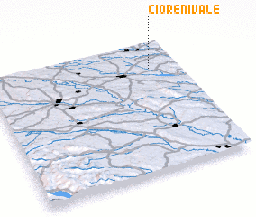 Places with similar names to Cioreni Vale, Romania ::
// Ciornei-Vale (RO)
// Sare Nfali (GM)
// Saronville (US)
// Sornéville (FR)
// Xaronval (FR)
// Černý Vŭl (CZ)
// Séranville (FR)
// Séronville (FR)
Disclaimer :: Information on this page comes without warranty of any kind |
||
|
Where is Cioreni Vale? Elevation and coordinates ::
Latitude (lat): 47°48'0"N Longitude (lon): 26°51'0"E
Elevation (approx.): 183m (map arrows pan, magnifying glasses zoom) |
||
|
Visiting Cioreni Vale? Hotel/Accommodation ::
Book a hotel in Cioreni Vale Travel Guide ::
Buy a travel guide for Romania rental cars ::
car rental offers GPS waypoint ::
download a GPX waypoint (PoI) of Cioreni Vale for your GPS receiver
|
||