|
search place name
|
||
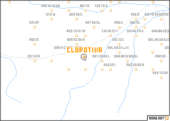
Clopotiva (Covurlui, Romania)Clopotiva is a town in the Covurlui region of Romania. An overview map of the region around Clopotiva is displayed below.
regional and 3d topo map of Clopotiva, Romania ::
Clopotiva airports ::
The nearest airport is CSB - Caransebes, located 44.9 km west of Clopotiva.
Other airports nearby include SBZ - Sibiu (104.3 km east), TSR - Timisoara Traian Vuia (120.3 km west), ARW - Arad (142.3 km north west), CRA - Craiova (156.3 km south east), Nearby towns ::
Ostrovu Mic (1.9km south) //
Ostrovel (2.6km east) //
Breazova (3.9km north) //
Bălan (3.2km south east) //
Brazi (3.2km south east) //
Goeni (3.2km south east) //
Ohaba de sub Munte (3.2km south east) //
Ostrov (3.2km north east) //
Rîu de Mori (3.2km south east) //
Hobiţa Mică (3.2km north west) //
Sarmizegetusa (3.2km north west) //
Hobiţa Grădişte (3.2km south west) //
Peşteana (5.6km north) //
Peşteniţa (5.7km north) //
Sibişel (4.3km south east) //
Suseni (4.3km south east) //
Păucineşti (5.2km west) //
Valea Dîljii (5.5km east) //
Hăţăgel (7.5km north) //
Cîrneşti (6.8km north east) //
Unciuc (6.4km north east) //
Toteşti (9.1km north east) //
Păclişa (9.1km north east) //
Vadu (9.1km north east) //
[all distances 'as the bird flies' and approximate] 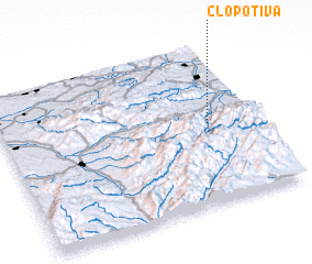 Places with similar names to Clopotiva, Romania ::
// Kolpytov (UA)
Disclaimer :: Information on this page comes without warranty of any kind |
||
|
Where is Clopotiva? Elevation and coordinates ::
Latitude (lat): 45°30'0"N Longitude (lon): 22°49'0"E
Elevation (approx.): 515m (map arrows pan, magnifying glasses zoom) |
||
|
Visiting Clopotiva? Hotel/Accommodation ::
Book a hotel in Clopotiva Travel Guide ::
Buy a travel guide for Romania rental cars ::
car rental offers GPS waypoint ::
download a GPX waypoint (PoI) of Clopotiva for your GPS receiver
|
||