|
search place name
|
||
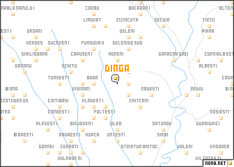
Dinga (Covurlui, Romania)Dinga is a town in the Covurlui region of Romania. An overview map of the region around Dinga is displayed below.
regional and 3d topo map of Dinga, Romania ::
Dinga airports ::
The nearest airport is BCM - Bacau, located 63.3 km west of Dinga.
Other airports nearby include IAS - Iasi (77.8 km north), KIV - Kichinau Fir/acc/com Chisinau Intl (104.1 km north east), SCV - Suceava Stefan Cel Mare (170.0 km north west), TCE - Tulcea Cataloi (175.4 km south east), Nearby towns ::
Puntişeni (1.3km east) //
Pîrveşti (2.3km south east) //
Costeşti (2.3km north east) //
Buda (2.6km west) //
Moreni (3.7km north) //
Bogdăneşti (3.9km south) //
Vlădeşti (4.5km south west) //
Chiţcani (4.5km south east) //
Orgoeşti (3.8km west) //
Folteşti (5.7km south) //
Rădeşti (4.3km south east) //
Vişinari (4.3km south west) //
Deleni de Jos (5.7km north) //
Deleni de Sus (5.7km north) //
Bogdăniţa (5.3km south west) //
Corlăteşti (6.1km south west) //
Fundu Văii (6.1km north west) //
Căpuşeni (5.3km north west) //
Ulea (7.4km south) //
Schitu (5.4km west) //
Deleni (7.5km north) //
Bulboaca (7.8km north) //
Bîrjoveni (8.3km south west) //
Satu Nou (9.0km south east) //
[all distances 'as the bird flies' and approximate] 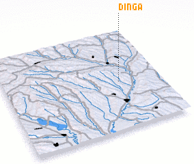 Places with similar names to Dinga, Romania ::
Disclaimer :: Information on this page comes without warranty of any kind |
||
|
Where is Dinga? Elevation and coordinates ::
Latitude (lat): 46°29'0"N Longitude (lon): 27°44'0"E
Elevation (approx.): 304m (map arrows pan, magnifying glasses zoom) |
||
|
Visiting Dinga? Hotel/Accommodation ::
Book a hotel in Dinga Travel Guide ::
Buy a travel guide for Romania rental cars ::
car rental offers GPS waypoint ::
download a GPX waypoint (PoI) of Dinga for your GPS receiver
|
||