|
search place name
|
||
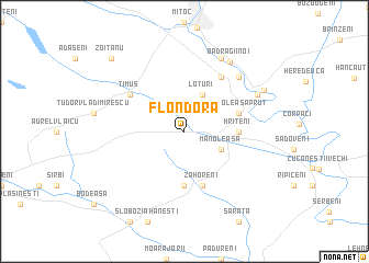
Flondora (Covurlui, Romania)Flondora is a town in the Covurlui region of Romania. An overview map of the region around Flondora is displayed below.
regional and 3d topo map of Flondora, Romania ::
Flondora airports ::
The nearest airport is SCV - Suceava Stefan Cel Mare, located 61.6 km south west of Flondora.
Other airports nearby include IAS - Iasi (101.5 km south east), BCM - Bacau (164.6 km south), KIV - Kichinau Fir/acc/com Chisinau Intl (186.2 km south east), Nearby towns ::
Loturi (3.9km north) //
Manoleasa (3.1km south east) //
Borolea (5.6km south) //
Hriţeni (3.7km east) //
Sărata-Basarab (5.7km south) //
Zahoreni (5.7km south) //
Manoleasa-Prut (4.2km north east) //
Panaitoaia (5.3km north west) //
Timuş (5.3km north west) //
Liveni (6.1km north east) //
Livenii Sat (6.1km north east) //
Iorga (6.1km north east) //
Livenii Vechi (6.7km north east) //
Şerpeniţa (6.2km north east) //
Livenii Noi (7.8km north) //
BădragiiNoi (7.8km north east) //
Bădragii Vechi (6.9km north east) //
Zoiţanu (8.9km north west) //
[all distances 'as the bird flies' and approximate] 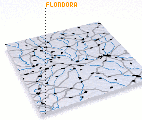 Places with similar names to Flondora, Romania ::
// Volontër (RU)
// Vallendar (DE)
// Vale Andreu (PT)
// Valea Nadrii (RO)
// Voluntari (RO)
// Faliandra (MG)
// Faliandro (MG)
// Vilander (US)
// Volunteer (US)
// Flandreau (US)
Disclaimer :: Information on this page comes without warranty of any kind |
||
|
Where is Flondora? Elevation and coordinates ::
Latitude (lat): 48°0'0"N Longitude (lon): 27°2'0"E
Elevation (approx.): 125m (map arrows pan, magnifying glasses zoom) |
||
|
Visiting Flondora? Hotel/Accommodation ::
Book a hotel in Flondora Travel Guide ::
Buy a travel guide for Romania rental cars ::
car rental offers GPS waypoint ::
download a GPX waypoint (PoI) of Flondora for your GPS receiver
|
||