|
search place name
|
||
Lupşa (Covurlui, Romania)Lupşa is a town in the Covurlui region of Romania. An overview map of the region around Lupşa is displayed below.
regional and 3d topo map of Lupşa, Romania ::

Lupşa airports ::
The nearest airport is TGM - Tirgu Mures Vidrasau, located 90.7 km north west of Lupşa.
Other airports nearby include SBZ - Sibiu (95.3 km west), BCM - Bacau (140.4 km north east), CLJ - Cluj-napoca Cluj Napoca (156.2 km north west), OTP - Bucharest Henri Coanda (163.9 km south east), Nearby towns ::
Cuciulata (2.6km west) //
Fîntîna (3.9km north) //
Comana de Sus (4.5km south west) //
Hoghiz (5.6km north) //
Ungra (6.1km north west) //
Comana de Jos (5.5km west) //
Bogata Olteană (6.8km north east) //
[all distances 'as the bird flies' and approximate] 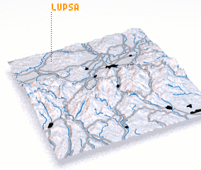 Places with similar names to Lupşa, Romania ::
Disclaimer :: Information on this page comes without warranty of any kind |
||
|
Where is Lupşa? Elevation and coordinates ::
Latitude (lat): 45°56'0"N Longitude (lon): 25°18'0"E
Elevation (approx.): 501m (map arrows pan, magnifying glasses zoom) |
||
|
Visiting Lupşa? Hotel/Accommodation ::
Book a hotel in Lupşa Travel Guide ::
Buy a travel guide for Romania rental cars ::
car rental offers GPS waypoint ::
download a GPX waypoint (PoI) of Lupşa for your GPS receiver
|
||