|
search place name
|
||
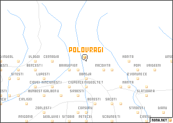
Polovragi (Covurlui, Romania)Polovragi is a town in the Covurlui region of Romania. An overview map of the region around Polovragi is displayed below.
regional and 3d topo map of Polovragi, Romania ::
Polovragi airports ::
The nearest airport is SBZ - Sibiu, located 70.7 km north of Polovragi.
Other airports nearby include CRA - Craiova (96.4 km south), CSB - Caransebes (124.1 km west), TGM - Tirgu Mures Vidrasau (150.5 km north), CLJ - Cluj-napoca Cluj Napoca (178.3 km north), Nearby towns ::
Sohodolu (2.3km south west) //
Obreja (3.7km south) //
Racoviţa (3.2km south east) //
Baia de Fier (3.2km south west) //
Ciupercenii de Olteţ (5.6km south) //
Cerna (4.3km south east) //
Ponoarele (6.1km south west) //
Buiceşti (5.2km west) //
Cernădia (5.2km west) //
Sîrbeşti (7.5km south) //
Măgura (8.4km south west) //
Minciuneşti (7.6km south west) //
Rugetu (7.6km south east) //
Poenari (7.6km south west) //
[all distances 'as the bird flies' and approximate] 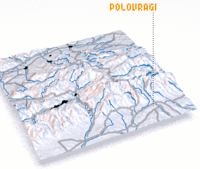 Places with similar names to Polovragi, Romania ::
// Polverigi (IT)
Disclaimer :: Information on this page comes without warranty of any kind |
||
|
Where is Polovragi? Elevation and coordinates ::
Latitude (lat): 45°11'0"N Longitude (lon): 23°48'0"E
Elevation (approx.): 608m (map arrows pan, magnifying glasses zoom) |
||
|
Visiting Polovragi? Hotel/Accommodation ::
Book a hotel in Polovragi Travel Guide ::
Buy a travel guide for Romania rental cars ::
car rental offers GPS waypoint ::
download a GPX waypoint (PoI) of Polovragi for your GPS receiver
|
||