|
search place name
|
||
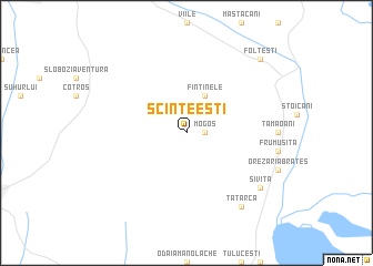
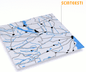
Scînteeşti (Covurlui, Romania)Scînteeşti is a town in the Covurlui region of Romania. An overview map of the region around Scînteeşti is displayed below.
regional and 3d topo map of Scînteeşti, Romania ::
Scînteeşti airports ::
The nearest airport is TCE - Tulcea Cataloi, located 89.7 km south east of Scînteeşti.
Other airports nearby include BCM - Bacau (124.8 km north west), CND - Constanta Mihail Kogalniceanu (152.1 km south), KIV - Kichinau Fir/acc/com Chisinau Intl (156.4 km north east), IAS - Iasi (168.5 km north), Nearby towns ::
 Places with similar names to Scînteeşti, Romania ::
// Santo Isídio (BR)
// Sand City (US)
// Santa Cita (PT)
// Sandset (NO)
// Sundset (NO)
// Cîndeşti (RO)
// Cîndeşti (RO)
// Cîndeşti (RO)
// Cîndeşti (RO)
// Cîndeşti (RO)
Disclaimer :: Information on this page comes without warranty of any kind |
||
|
Where is Scînteeşti? Elevation and coordinates ::
Latitude (lat): 45°41'0"N Longitude (lon): 27°59'0"E
Elevation (approx.): 133m (map arrows pan, magnifying glasses zoom) |
||
|
Visiting Scînteeşti? Hotel/Accommodation ::
Book a hotel in Scînteeşti Travel Guide ::
Buy a travel guide for Romania rental cars ::
car rental offers GPS waypoint ::
download a GPX waypoint (PoI) of Scînteeşti for your GPS receiver
|
||